The post A Fall Getaway Around Vancouver Island appeared first on Full Time Canada.
]]>After a busy summer where Kate and I both worked jobs while also running our business – Tofino Food Tours – we were ready for a departure from Tofino. Since we moved to Tofino, we’ve only take a couple trips around Vancouver Island. We’ve seen nearby Port Alberni & Nanaimo and travelled a bit to Victoria as well. Other than that we knew we wanted to explore this rugged & wild island that we now call home.
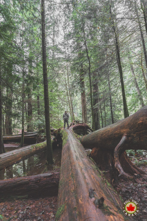
Seeing as Vancouver Island is the largest island on the West Coast of North America there were no shortages of places to go. Still, we only had two weeks and we wanted to see most of Vancouver Island in that time. Our main stops were to visit the areas around Mount Washington, Gold River, Port MacNeill, and Port Renfrew. We figured that itinerary would give us the opportunity to do some hiking in some beautiful areas while also relaxing in some quiet and peaceful surroundings. Happily, we can say that’s exactly what we got.
Mount Washington|Courtenay|Comox|Campbell River
For our first week away from Tofino we ventured up to one of the more popular winter destinations on Vancouver Island – Mount Washington. This beautiful area is home to a very impressive alpine centre, but Kate & I were more interested because of its proximity to Strathcona Provincial Park.
As the largest provincial park on Vancouver Island & BC’s oldest (opened in 1911), Strathcona had a lot of natural appeal to Kate & I. Filled with networks of hiking trails we figured we’d have lots to do while spending time at Mount Washington. But were in for a bit of surprise.
We began our vacation at the beginning of November and while the weather typically cools off, we weren’t entirely prepared for what would greet us when we arrived at Mount Washington. The night before we left Tofino, a cold snap made its way over Vancouver Island bringing with it the rare sight of snow in Tofino. While we got a small dusting in Tofino, Mount Washington being at a much higher elevation got hit with a substantial amount of snow.
While we weren’t necessarily expecting to be surrounded by snow at the beginning of November, we must say it was quite beautiful to look around us and see nothing but alpine forest covered with a thick blanket of snow.
Because of the snow, we weren’t able to hike the number of trails we were expecting to hike in Strathcona. While there was a fair amount of snow on the ground we weren’t going to be stopped from hiking some trails of the Forbidden Plateau area of Strathcona. So there we were – Kate, Bella, & I, happily hiking through the ankle-deep snow along the trails of the Forbidden Plateau.
Because of the parks popularity and proximity to Mount Washington, the snow on the trails was already mostly packed down by other hikers which was nice. Surrounding us as we hiked was a complete sheet of whiteness. It was quite stunning to see. Plus, it was so peaceful. While we couldn’t hike many trails, this hike gave us a good taste of what beauty lies within the park having us wishing to return again in the future to explore further.
While the snow may have stopped us from hiking further into the Forbidden Plateau, it opened up the opportunity to find some gems around Courtenay, Comox, & Campbell River.
Elk Falls Provincial Park
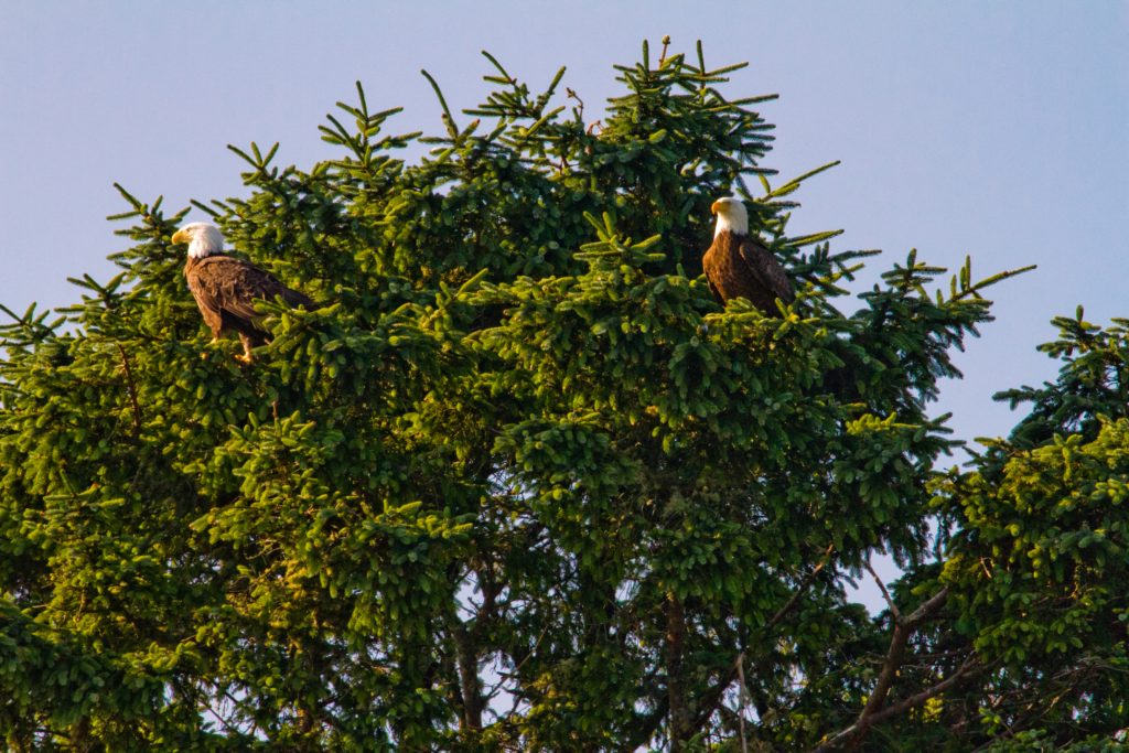
Near Campbell River, we discovered a gorgeous park – Elk Falls Provincial Park. We spent a good chunk of a day at this park, wandering the many trails that wind through it. Along the way, we were able to find a couple bald eagles perched high up in the trees watching the river for food. We also had the opportunity to cross the relatively new (opened in 2015) suspension bridge which crosses the canyon giving some great views of Elk Falls.
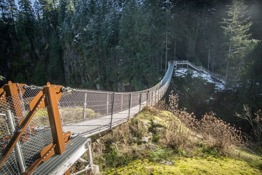
Elk Falls Provincial Park
Nymph Falls Nature Park
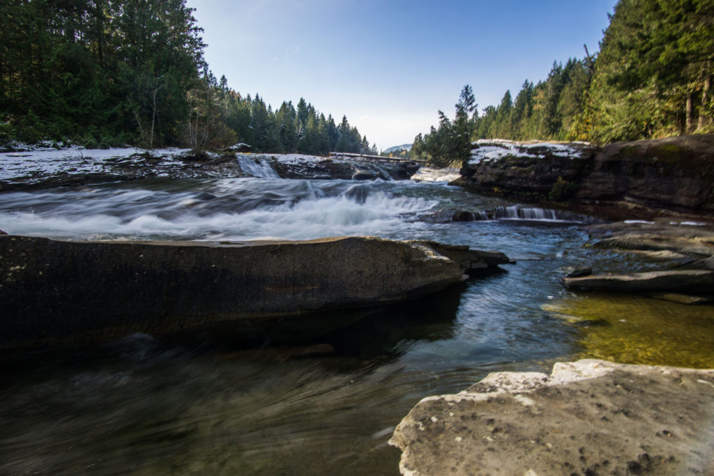
Within the Comox Valley, we also found what we assume to be a popular summer destination for locals – Nymph Falls Nature Park. Along the Puntledge River, there are trails that give you some beautiful views of the river and falls. We were hoping we might be able to see salmon jumping up the river to their spawning grounds. It appeared that we were a couple of weeks late as we didn’t see any jumping, however, we saw some decomposing along the river banks. While we were walking along the rocks of the river it became obvious that with its shallow natural pools that the river would be a hot spot for swimmers during the summer.
Courtenay River Estuary
Driving around Courtenay, mostly to find somewhere to eat, we discovered one of the highlights of our trip – the Courtenay River Estuary. Comox Bay divides Courtenay and Comox and that’s where you will find the Courtenay River Estuary. From either side, however, we were amazed at the amount of wildlife. Up close we witnessed many different birds, many of which we had never seen before. Seals would happily pop up and check us out near the water’s edge. The highlight, though, was the bald eagles. At one point, we counted probably at least 50 bald eagles including a mixture of juvenile & fully matured eagles. It was incredible to see so many in one place. I also managed to get incredibly close to a great blue heron which allowed me to snap one of my favourite series of photos I’ve ever take. Throughout the week we spent at Mount Washington, we travelled down to the Courtenay River Estuary to walk the trails or just sit in the car and watch the show.
Gold River
Located almost right in the middle of Vancouver Island is the logging town of Gold River. What we discovered when in Gold River is that it’s the hub for a lot of different activities. Many use Gold River as a way to hike the Nootka Trail. Others enjoy cruising aboard the MV Uchuck III. For us, however, we used Gold River as our gateway to the other main corridor of Strathcona Provincial Park – the Buttle Lake area.
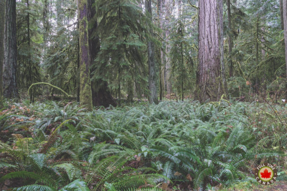
Once arriving, we were happy to see that unlike Mount Washington, there was no snow and the temperatures were much milder. For a couple of days, we explored much of the shorter trails that wind through the Buttle Lake area. There we saw some beautiful waterfalls tucked amongst the untouched ancient old-growth forest.
One rainy day we even took a drive down a 70km logging road to reach the village of Tahsis. Once a booming logging town with over 2500 residents, the town now has only 370ish year-round residents after the mill closed in 2001. What we found there wasn’t much aside from a beautiful and protected body of water known as the Tahsis Inlet.
Port McNeill/Port Hardy/Telegraph Cove
One of the ideas behind this trip was to check out most of Vancouver Island from top to bottom. Getting to the top meant heading towards Port McNeill & Port Hardy. Before we made our way to the Port villages, we made a quick stop in Telegraph Cove.
All summer, while working at Jamie’s Whaling Station in Tofino, I heard tourists mention Telegraph Cove. Naturally, my interest was heightened about this place. What we found were postcard-like surroundings where an old fishing village has been turned into a resort. At this time of year, the resort was closed down so it felt very much like a ghost town almost making it more beautiful. During the summer, Telegraph Cove is a busy spot for wildlife tours as you can take whale watching trips that frequently see killer whales.
During our two days in Port McNeill, we did some hiking but also drove down some long and winding roads to find small communities like Coal Harbour and Port Alice. While there wasn’t much happening in either destination it was still nice to travel to these beautiful tiny communities which helped give us an idea of what life is like in some of the more remote areas of Vancouver Island.
Port Renfrew
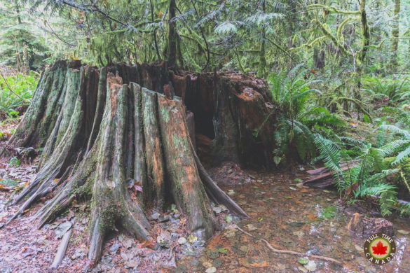
Having seen the northern part of Vancouver Island, it was time to check out the other end. To do so, we stayed for a few days down on the southwestern part of Vancouver Island in Port Renfrew. Like many of the other spots we visited on our vacation, Port Renfrew is a tiny village that thrived on logging for many years. Nowadays, while there is still logging in the area, it’s the trees that haven’t been chopped down that are attracting visitors to Port Renfrew.
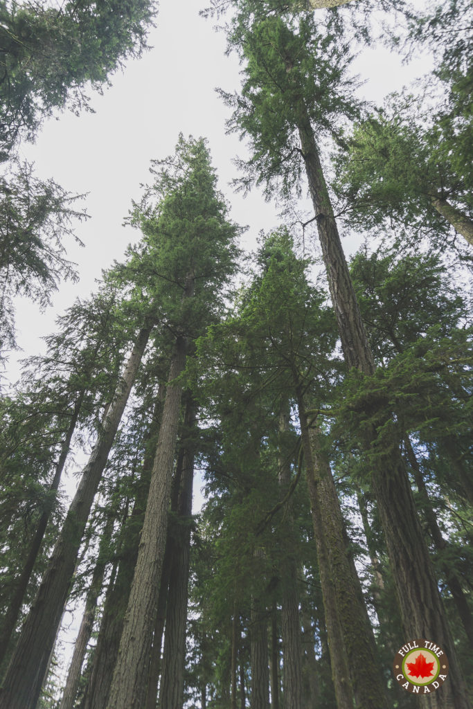
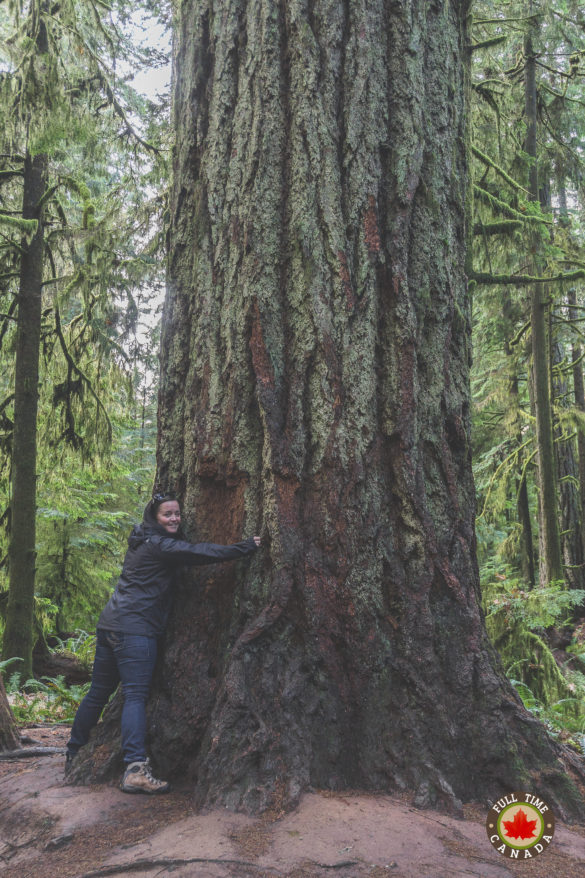
A short drive from Port Renfrew, there are a couple of popular destinations with travellers who are searching for massive old-growth trees – Avatar Grove & Big Lonely Doug.
Avatar Grove is home to “Canada’s Gnarliest Tree” as designated by the Ancient Forest Alliance. A short uphill hike through majestic ancient old-growth forest put us in front of the gnarly tree with its massive burl a short distance up its thick trunk.
A few kilometres from Avatar Grove is Big Lonely Doug. After a drive up some old logging roads and a short trip over a somewhat frightening logging bridge, we discovered Big Lonely Doug. Unlike Avatar Grove which is flush with untouched trees, Big Lonely Doug is famous because he is the lone Douglas fir that was spared during a 2012 clear cut of the ancient old-growth forest. So there Doug stands amongst the small trees that have begun to sprout in the last 5 years. The story of Big Lonely Doug is an incredible one and we highly recommend you read this article by the Walrus that wonderfully details the history behind Doug.
Sooke
While we were staying in Port Renfrew, we decided to take the short trip to Sooke. I’ve heard many people mention how much they love Sooke and that next Tofino, it’s their favourite spot on Vancouver Island.
Even though we only had one day to explore, we got a pretty good glimpse of what Sooke offers. We did a couple of short hikes including the Sooke Potholes and a short hike on the Galloping Goose Trail to the Charters Creek Trestle.
It was on the trestle where we had a fun little encounter with wildlife. As we were walking back along the trestle towards our vehicle I noticed a couple hundred of meters ahead of us two big black blobs on the trail. Sure enough, there was a mama and cub black bear. Kate and Bella had failed to see them and they were walking ahead of me so naturally, I stopped, and whisper-yelled, “Kate! Bear!” Quickly, her and Bella stopped in their tracks and we stopped to watch the bears. The bears took a quick look at us but didn’t really seem to care about us which was a relief. Seeing as there was only one way to our vehicle we had to wait about ten minutes until the bears carried on into the forest before retreating to our truck.
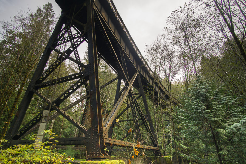
Charters Creek Trestle near Sooke
While Vancouver Island is one large island, we were fortunate enough over our two-week vacation to cover a good chunk of it. One thing that we both learned from the trip is how lucky we are to be able to call Tofino our home. All the stops we made on our journey were fabulous but it became obvious to us both that there really is no place on Vancouver Island – possibly Canada – like Tofino. With pretty much all of the daily amenities that you need, combined with being in a beautiful remote area full of outdoor adventure around every corner it truly is hard to beat Tofino. That being said, it’s hard to beat Vancouver Island as a whole. The enormous trees and rugged coastline make for a tremendous landscape to traverse and we highly recommend you come explore someday.
The post A Fall Getaway Around Vancouver Island appeared first on Full Time Canada.
]]>The post Adam & Kate’s Summer Wrap Up appeared first on Full Time Canada.
]]>Like every summer, I’m sure you said to yourself, “I can’t believe how quickly it went by.” That statement definitely rang true for Kate and I this summer as well. Honestly, we could say that the last year has just flown by. Specifically, though, the summer just whizzed by for us this year. It seems like it was just yesterday that it was the May 24 weekend and here we are now with fall just around the corner.
The summer for us was probably the busiest we’ve ever had. You’ve probably noticed as we’ve been a bit tardy with the number of blogs we’ve put out this summer. We’ve both been working a few different fun jobs that have taken up a lot of our summer. But we also had some time to have some fun here in Tofino and other parts of Vancouver Island this summer.
So, what exactly have we been up to all summer? Let’s dive in and we’ll tell you some of the highlights…
Whales & Bears, Oh my!
Back in March, Kate’s sister and niece visited Tofino and while they visited we had the opportunity to go whale watching with Jamie’s Whaling Station. While on the boat that morning I made a mental note of how fun it would be to work for one of the many whaling stations in town that specialize in whale & bear tours.
By June, I was indeed working for Jamie’s Whaling Station. While I’ve mostly been working the front desk, taking reservations & checking people in, I also occasionally do get out on the boats as a deckhand. This has been an awesome and rewarding experience.
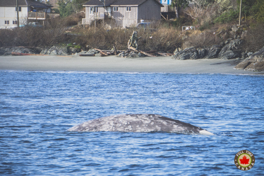
For the most part, while on the boats we get to see grey whales, seals, sea otters, sea lions, eagles and more. Here’s a fun video of a juvenile grey whaled named Snowflake that got close to our boat during our one trip.
While I had seen grey whales regularly while on the boats, I still had never seen Orcas in the wild. In Tofino & Clayoquot Sound, we only have the Transient Orcas which feed primarily on sea mammals. These orcas travel up to 100 miles a day and only pop up in our area every couple of weeks on average.
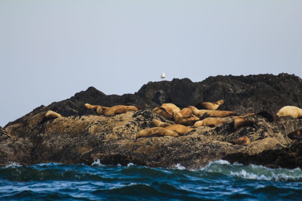
One foggy morning, as we were making our way back home after watching some grey whales, I was scanning an area known as the Glory Hole where we commonly see Stellar Sea Lions. This morning, through the fog, I couldn’t see any sea lions, but all of a sudden a massive black dorsal fin appeared near the rocks. My initial thought was, “That is NOT a porpoise.” I followed that thought by running through the cabin of the boat to tell our captain that I spotted the orca. We turned the boat around and proceeded to watch 3 orcas. Here’s the video. It’s not great but nonetheless, it was amazing to see these beautiful whales for the first time.
While I have seen my fair share of whales this summer, Kate and I also went out with Jamie’s on their bear watching tour. The black bears in Clayoquot Sound mainly feed during the summer months at low tide on shellfish like crab. To feed they have to toss rocks to discover their food. It’s quite impressive to watch the bears effortlessly toss the rocks. Have a look for yourself…
Birthday Adventure
As I turned 31, Kate took me away to the other side of Vancouver Island for a couple of trips that featured some outdoor fun.
Little Qualicum Falls was our first stop on the journey. The beautiful provincial park is host to camping and beautiful trails. It’s a great stop to see a mixture of ancient growth forest combined with some beautiful waterfalls.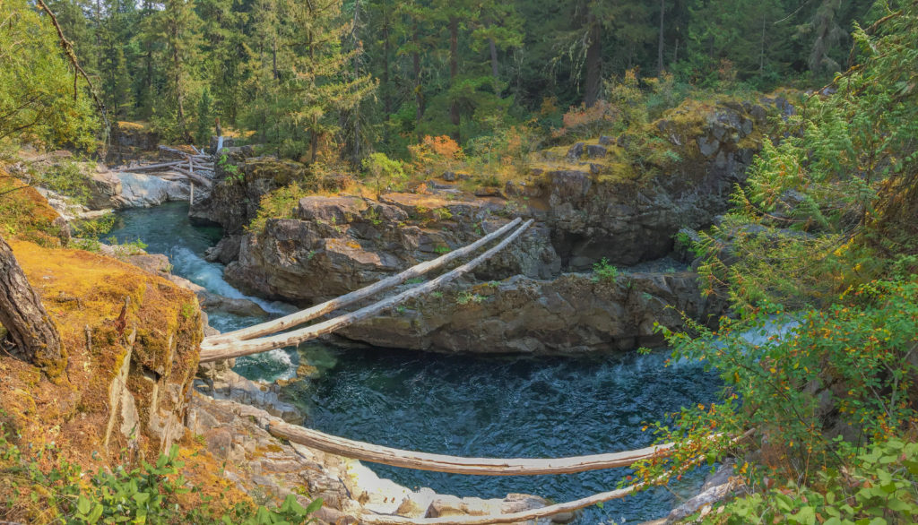
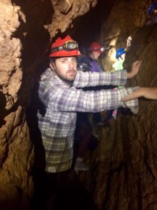
Later that same day we tried something relatively new to both of us – caving. We’ve both been in caves before but the Horne Lake Caves we visited were quite different. While there are quite a few caves in the area we chose to take a guided tour through one of the smaller cave systems. And when I say small, I mean small in more way than one, specifically how tight the caves were. There were points throughout the experience where anyone bigger than Kate or I would have had a hard time navigating the caves. Even though the caves remain a cool 8 degrees Celsius year-round, Kate did feel a tad claustrophobic at times and even came out of the caves sweating from a small panic attack. It was quite a fun and different adventure for us. We’d like to go back sometime and check out some of the other caves.
The final stop on my birthday tour was to the North Vancouver Island Wildlife Recovery Centre. The centre is home to many animals who have been injured in the wild. Some of these animals are permanently at the centre as their injuries would mean they would likely not survive in the wild if released. There are, however, quite a few animals that are brought into the centre that are rehabilitated and then released again into the wild. We had the opportunity of seeing a lot of beautiful animals, specifically birds up close that we otherwise would likely never have a chance to see that closely.
Viva Las Vegas
For the first time in my life, I recently made my way to Las Vegas to celebrate my father’s 60th birthday. In Vegas, I met up with my family including my aunt and grandfather. This was my grandfather’s first time flying anywhere so it was quite an experience just watching him throughout the three days we were together. Watching him casually have conversations with escorts that would approach him was a highlight.
Our arrival in Vegas also coincided with the “Big Fight” between Floyd Mayweather and Conor MacGregor. You’d think that Las Vegas would be the best place to watch the fight – not so much. The cost of tickets to the actual fight was a minimum $2700. Tickets to closed circuit viewing parties were $150+. Other than those two options, nowhere else in Vegas could you watch the fight. Rather, by chance, I ended up watching most of the fight with a small crowd gathered around some guys laptop at the hotel bar.
Throughout the trip, I was blown away by how bloody expensive Vegas truly is. A couple of examples. I lost my lens cap for my camera. To replace it I went into the only camera store on the Strip and was offered a replacement cap for $75!!! Insanity. I also unknowingly paid $6 for a small cup of pop at the Bellagio. I’m still a tad bitter about that.
The best Vegas experience we had was on Fremont Street which is essentially old Vegas. It’s a pretty happening spot with live music, zip lining over the street, street performers and more. It’s also the cheaper side of town. We had a steak and lobster dinner for $12.99. Hard to beat that deal.
How We’re Paying the Bills
While I predominately am working at Jamie’s Whaling Station, Kate is working as a guest representative where we live at Crystal Cove Beach Resort. She is learning how the resort operates and is enjoying it immensely. On top of that, we’re getting close to wrapping up our first season running our own business – Tofino Food Tours.
It’s been a fun summer touring guests from all over the world around Tofino. We feed our guests with plenty of food and knowledge about Tofino & Clayoquot Sound and everyone seems to have had an amazing time which is really rewarding.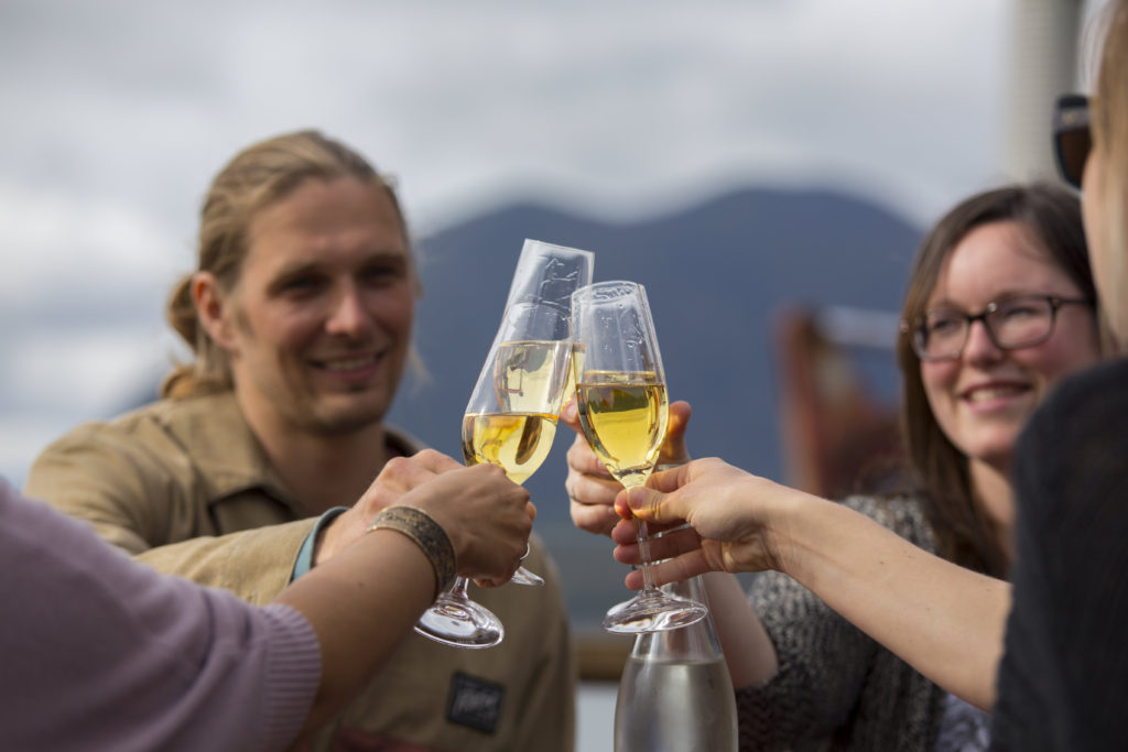
We’ve also both been using our 30 years of combined radio experience at our local radio station – Tuff City Radio. Since April, we’ve been doing the morning show from 8-10 each morning. It has been fun to get back into radio again, especially since we’re there to simply have fun which is something we weren’t really having anymore when we were let go (thankfully) from our radio positions in 2015.
Bella & Paris Update
While I’m sure you don’t mind reading about what we’ve been up to this summer, I’m sure you’ve really been wondering what’s been going on with Bella & Paris Frances. Both are still loving life here in Tofino. Bella spends some nights at work with Kate. So if you stay at Crystal Cove Beach Resort you could meet our beloved little chocolate lab. When she isn’t at work, Bella loves wandering our world class beaches where she plays happily in tide pools and sniffs the bums of many other dogs that greet her. Here’s Bella playing this summer…
Meanwhile, Paris has become quite a deviant. More so than before believe it or not. She’s again become obsessed with drinking water from the bathroom sink. This sink is directly beside our bed so in the middle of the night she started clawing the bed or even us. This is her way of requesting that we turn the tap on. She would do this routine many times throughout the night. Twice within a week, she jumped on my face in the middle of the night. Once she drew blood from my nose. We’ve since locked her out of our room at night allowing for Kate, Bella and I to have a much more peaceful sleep. Every morning when we open the bedroom door, the little devil is waiting for us. Here she is happily enjoying her running tap…
What’s Next For Us?
Seeing as we’ve now set up Tofino Food Tours, we’ve essentially committed to staying in Tofino for a little while. How long? We’re not sure yet. Knowing that, however, we’ve decided that we will slow down and travel a bit in the fall, winter, and early spring months before another busy summer season hits us next year.
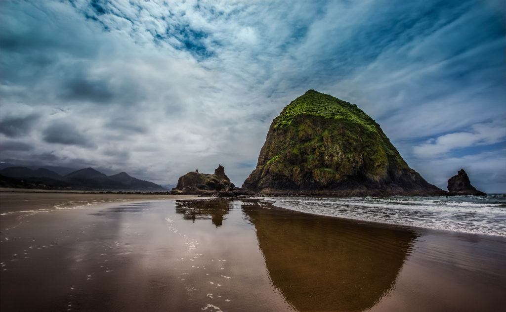
When this tourism season wraps up for Tofino, in mid to late October, we’re going to hit the road. We haven’t got an official plan, but we’re planning a 4 to 6 week long road trip that will see us travel to Washington and from there travel the US 101. The route will have us specifically travelling down the Pacific coastline of the US which looks spectacular in every picture we see. Since I was a kid, I’ve always wanted to go to Astoria, Oregon to see some of the filming locations used in one of my favourite films – The Goonies. Haystack Rock at Cannon Beach is a must and is the only planned part of our itinerary at this point.
This will be one trip where we don’t book things ahead of time and rather go with the flow. We’ve never done this before as I’m a nutcase planner but I’m freeing myself of that for this trip. We’re just going to hit the road and see what happens.
How was your summer? What fun & exciting things did you do? What lays ahead for you in the fall & winter?
The post Adam & Kate’s Summer Wrap Up appeared first on Full Time Canada.
]]>The post Hiking Clayoquot Sound with Hello Nature Adventure Tours appeared first on Full Time Canada.
]]>Since arriving in Tofino in October, the one thing I wanted to do more than anything was to get out on the water and explore the various islands of Clayoquot Sound.
One afternoon, a friend tagged me in a Facebook post from Hello Nature Adventure Tours in nearby Ucluelet. The company was going to be doing a couple of hiking trips to Flores and Vargas Island and as a new business, they were inviting bloggers to join them.
When Kate’s sister and niece visited Tofino in March, they went on a hiking tour with Hello Nature and raved about their experience. Knowing this combined with my desire to explore more of Clayoquot Sound, I speedily fired off a message to Kevin at Hello Nature asking if I could join. Shortly after, he informed me that I could indeed join them on both trips that week.
Elated with the news, I immediately started packing my backpack for the upcoming adventures.
Trip 1: Wild Side Trail, Flores Island
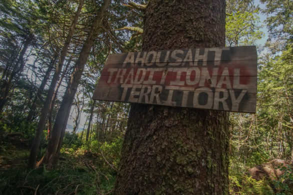
With my backpack and hiking boots ready to go, I was excited to hike the Wild Side Trail on Flores Island. The trail is an 11-km traditional trading footpath of the Ahousaht First Nations. A trail that they had used for thousands of years to trade with nearby First Nation communities.
Meeting the Guides
I met Kevin along with the other Hello Nature guides and some guests down on the First Street Dock where we were to hop in a water taxi to make our way to Flores Island. After brief introductions and signing a waiver, we hopped into our water taxi, guided by Mike, a member of the Ahousaht First Nations. Because the Wild Side Trail is on First Nations territory, Hello Nature insists on using First Nations whenever possible to taxi guests out to Flores or Vargas Island. It’s great that they do this as it helps support the Ahousaht First Nations economy.
30 minutes after we first jumped into the boat with Mike, we had passed the various mountains and islands of Clayoquot Sound to arrive at the Ahousaht dock. We happily unloaded, ready for adventure.
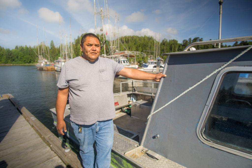
Mike, our water taxi guide who took us to Ahousaht.
Picking Up Some Trail Companions
To warm up our legs for the hike, Kevin informed us that we would have to walk through both the old and new villages of Ahousaht before reaching the entry point for the Wild Side Trail.
Along the way, we picked up some more guests that would join us throughout our remaining time on Flores Island – three beautiful wolf dogs. Throughout our hike, the dogs would follow or lead us along the trail while periodically disappearing. When the dogs would reappear we would hear crashing through the thick rainforest shrubs. Had they not joined us at the beginning of the hike, we would have likely been convinced we were being tracked down by a small pack of wolves. Thankfully, that wasn’t the case.
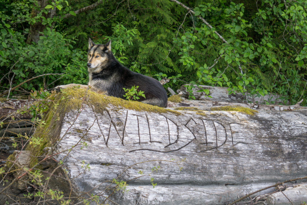
One of the wolf dogs that joined us throughout our hike on the Wild Side Trail
The Fascinating Banana Slug
Just before we hit the trailhead, we came across one of the more unique specimens of Clayoquot Sound – the banana slug. At first, the large slugs are impressive to the eye, simply based on their size alone. Previous to living in Tofino, I’d never seen slugs this size. Beyond their large dimensions, Kevin provided some further interesting details about the banana slug. The slime that the slugs excrete is so sticky that 3M is trying to figure out how to recreate it for practical use with their adhesive products. He demonstrated the sticky strength of the slug by placing it on his hand then turning his hand upside down, displaying the slugs strength as it remained in place.
There are other fascinating facts about banana slugs but you’ll have to join Kevin on a hike and hear the facts straight from him. You’ll be amazed at what these slugs do.
Start of the Wild Side
After about 2km of hiking through the old and new villages of Ahousaht, we had reached the trailhead for the Wild Side Trail.
Originally, when the trail was used by First Nations as a trading route, this trail would have been a lot more rugged than its current conditions. Today, the trail is well maintained and features a quality boardwalk which will eventually cover most of the trail.
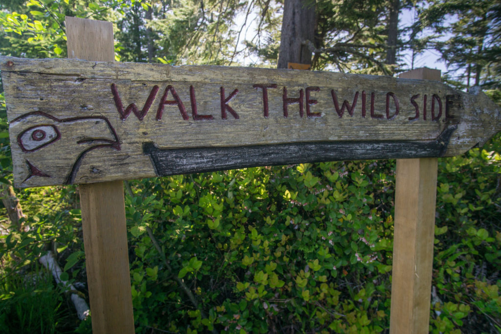
The trailhead of the Wild Side Trail
Learning About The Ecosystem
While we were hiking through the thick temperate rainforest, Kevin would occasionally stop us to tell us about some of the unique features of the rich ecosystem that surrounded us. From the giant ancient red cedars, Sitka spruce & hemlock to the various berry bushes and shrubs, Kevin displayed an immense amount of knowledge of everything that surrounded us making the hike rewarding both physically and mentally. As someone who is naturally curious, I fired a plethora of questions towards Kevin throughout the day, all of which he easily answered.
One of the more interesting things that we spotted in the rainforest was a collection of culturally modified trees. These are ancient red cedars that have had pieces of bark stripped from them by First Nations. The strips will then be used in a variety of ways such as to make clothing, thread, crafts, etc… By only taking a small strip from the tree it allows the tree to continue growing as well.
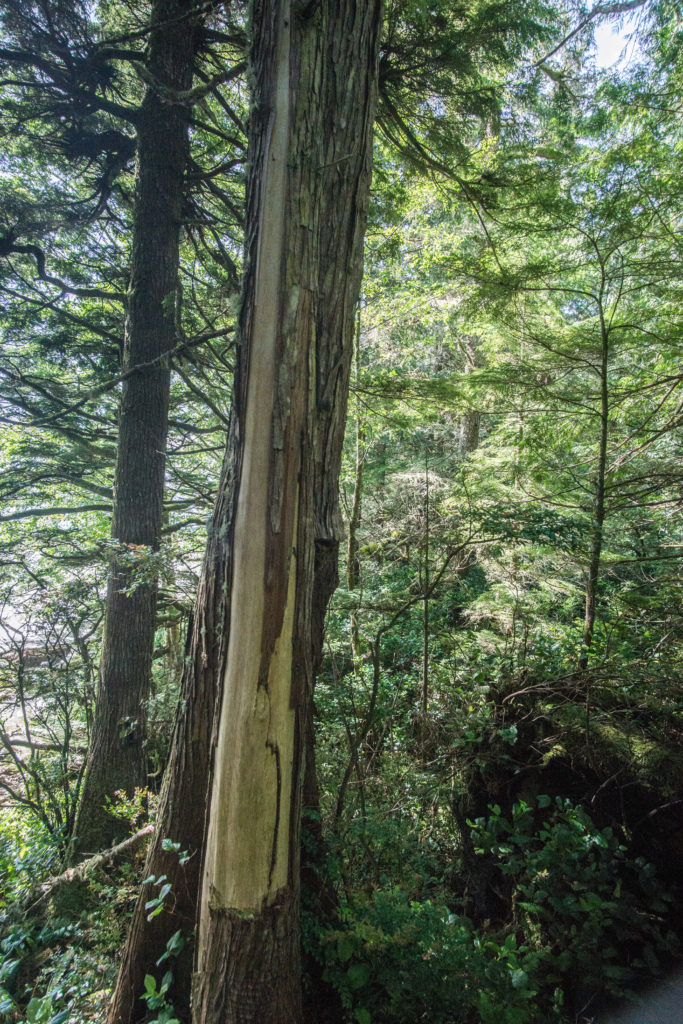
A culturally modified red cedar.
Lunch & Whales
As the sun beat down us we continued to alternate between winding through the rainforest and walking along stretches of beach which cooled us down with the cool breeze of the Pacific.
A couple hours after first hitting the trailhead, we arrived at the end of a long beach near a creek where we stopped for lunch. Kevin informed us that we were about 7km into the trail at this point and that we wouldn’t be going any further today. During a booked tour, guests would continue another 4-km to arrive at Cow Bay before getting picked up by a water taxi and heading back to Tofino.
While this would be as far as we were going, our small group was content to stop for lunch and explore a bit. I quickly found a dried up sea star near our lunch spot. While it was quite dry, based on the stench it was emitting it was clear that it was still decomposing.
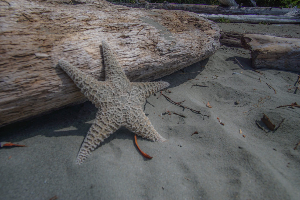
A dried up sea star laying on the beach near where we had lunch.
Soon after, our group enjoyed a wonderful lunch that Hello Nature provides for its guests on these hikes. They had wonderful bread and meats and cheese to make sandwiches along with some fruit and veggies and my favourite – white chocolate macadamia nut cookies. It took everything within me not to grab the box of cookies and sneak off and keep them to myself. White chocolate macadamia nut cookies are an addiction for me.
As we sat in the sun and enjoyed our lunch, in the distance we could see some of the local whale watching boats from Tofino in the area. Soon after seeing them we started to see spouts of whales blow up from the water. So, as we continued eating lunch we had the pleasure of watching grey whales also feed and sporadically appear. Peering through some binoculars, a German guest, Katie, was smiling ear-to-ear as this was her first chance to see whales in person.
While we had come for a fun and adventurous hike, spotting wildlife wasn’t a guarantee. However, Clayoquot Sound is a wild area and stumbling on wildlife anywhere you go isn’t uncommon. Not only did we see whales that day, we spotted a seal at one point, too. We also saw probably 15-20 bald eagles throughout the hike, which always puts a smile on my face.
Once we had finished lunch, we packed up our gear and over the next couple of hours made our way back to the dock in Ahousaht while occasionally stopping to enjoy the natural beauty of the area.
More photos of the Wild Side Trail (Click to enlarge)…
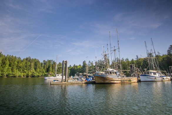
If you want to enjoy a relatively easy hike, but also enjoy a more remote hike with little to no other human contact, you should join Hello Nature to hike the Wild Side Trail. However, if you’re looking for a more rugged and wild hike, you may enjoy…
Trip 2: Vargas Island
Unlike the Wild Side Trail on Flores Island, hiking Vargas Island would prove to be a tad more adventurous than I had expected. A couple of days after hiking the Wild Side Trail, I met up with Kevin and a couple other guides from Hello Nature at Jamie’s Whaling Station. It was here that we would grab a boat out to Vargas Island. As previously mentioned, Hello Nature will employ the Ahousaht First Nations to transport groups to the various islands, however, when they’re unavailable, Hello Nature will use Jamie’s.
A Zodiac Adventure
For this adventure, rather than take your typical boat, we were going to be flying through the water in a Zodiac. This meant that we had to get suited up in survival suits that would provide both warmth during the trip out as well as our floatation devices.
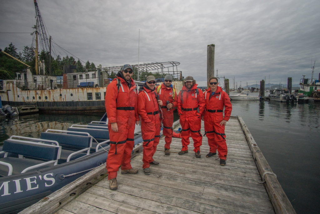
All suited up and ready to take the Zodiac to Vargas Island
Down at the dock, we met up with Sarah who would be taking us out to Vargas Island. Like the trip to Flores Island, the trip to Vargas Island was about 25-30 minutes. However, when we approached the island it quickly became apparent that our landing wasn’t going to be like one we had in Ahousaht a couple of days before.
As the Zodiac closed in on the island my eyes searched for a dock. I remarked to Kevin, “there’s no dock is there?” He confirmed my suspicion as we closed in on the island towards a group of black rock where we would indeed be landing the Zodiac.
As we got closer, in my head I was constantly thinking about disembarking the Zodiac onto the wet & slippery rocks. I was hoping I wouldn’t make a scene of any kind. My long, unathletic body leads me to be rather clumsy at times and all I could constantly picture was myself tripping as I made my way off the boat stumbling onto the rocks or into the freezing water. Thankfully, I remained composed and landed on the island without any sort of embarrassing incident.
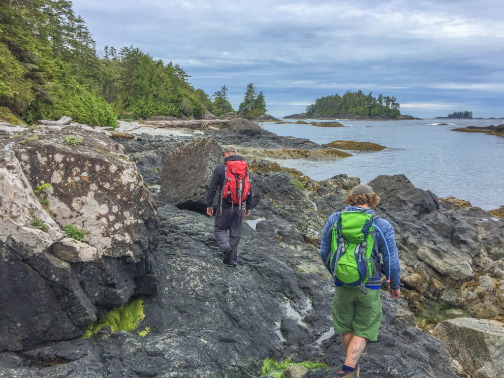
Offloading from the Zodiac onto the black rock of Vargas Island
Time to Hike
Once on the island, it was time to start hiking. After a quick walk on a stony beach, we reached the trailhead of the unnamed trail. It quickly became clear that this hike was going to be a bit more rugged than the Wild Side Trail.
Unlike the Wild Side Trail, this trail on Vargas Island had no boardwalks. Nor was it wide open in most sections. Rather, the trail was a mix of muddy, closed in trails with some sections requiring me to do a walking squat to prevent my head from getting scratched by the low hanging trees and shrubs.
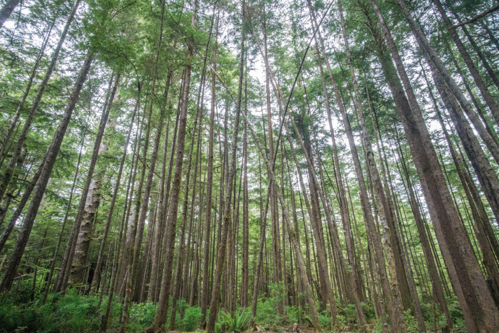
The tall trees of Vargas Island
While it sounds a little more daunting, the ruggedness of this trail was incredible to me. I loved the fact how untouched the trail mostly was. Aside from the three resident wolves on Vargas Island, not many use the path we hiked that day. Throughout the entirety of our time on the island we didn’t spot another soul.
During the busier summer months, it’s possible you might stumble on some surfers who reach the island to surf a small beach called Little Baja. Dotted throughout some of the beaches were surfer shacks made from driftwood alongside the remnants of previous campfires.
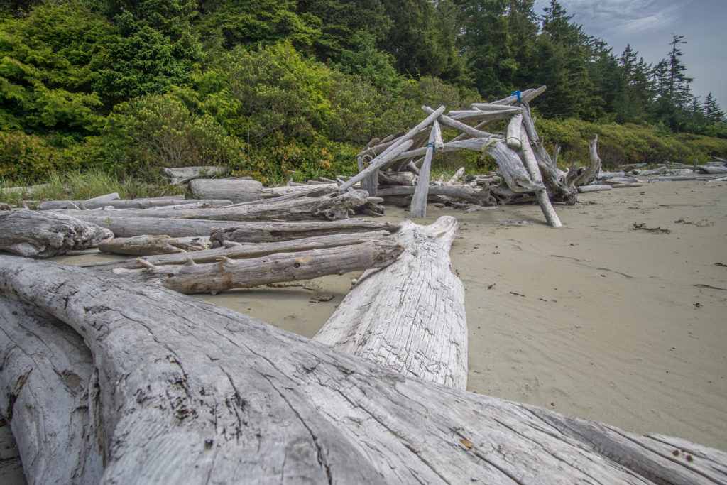
A surfer shack made from driftwood on Vargas Island
Whale Watching
After hiking for a few hours, we sat on a beach in a small cove, where like our previous hike, we spotted grey whales spout in the distance. It was in this cove that we would soon be picked up in the Zodiac by Sarah. Again, there was no dock to easily hop into the boat. This meant going from the slippery rocks into the Zodiac. This sparked up my thoughts of embarrassingly falling or slipping but I remained steady and boarded the Zodiac without issue.
As Sarah backed the Zodiac off the rocks, we decided that we were going to see if we could spot the whales we were seeing from the cove. For 15-20 minutes, we quietly sat on the water watching for grey whales. Much to our delight, we consistently saw 2-3 grey whales. More amazingly was the fact we got to see one of the grey whales breach its tail which is more uncommon compared to other whales in the area like the humpback whales.
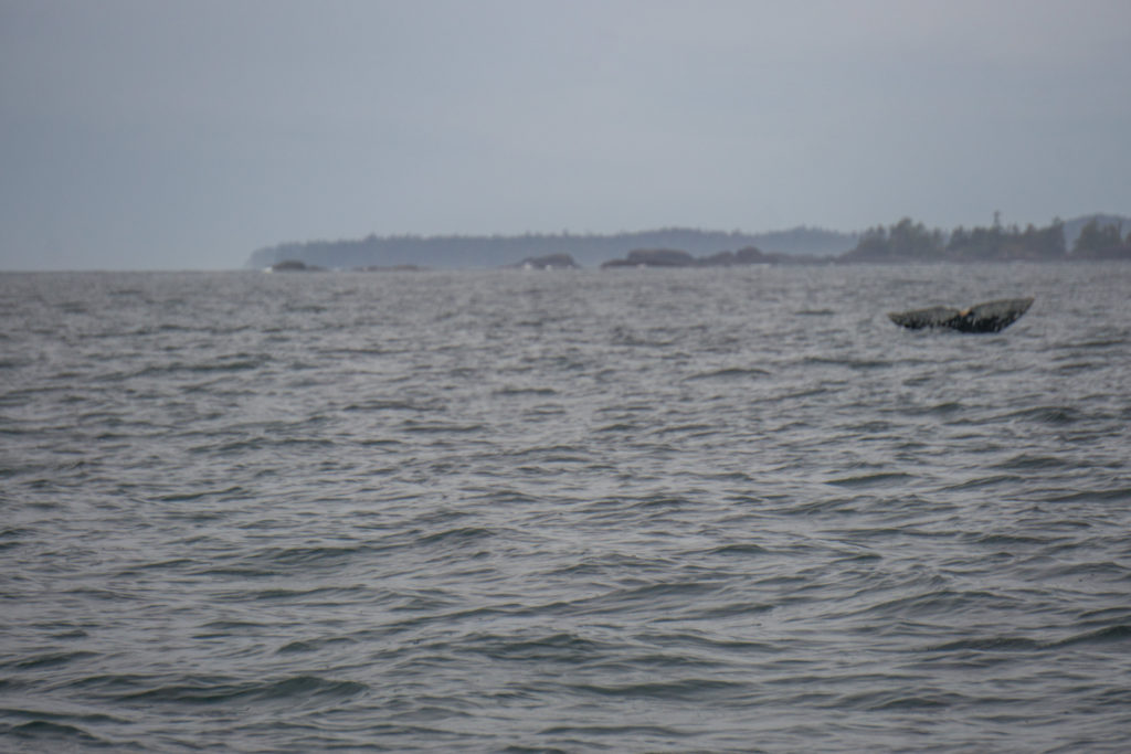
A grey whale breaching its tail for us
With some unexpected whale watching under our belt, we made our way to the open ocean where the Zodiac was hitting big swells causing a bucking bronco feeling as we made our way back to town. I got to say, riding in Zodiacs are so much more fun than normal boats. No doubt I had a childish grin on my face as we hit big waves throughout the ride home.
More photos of Vargas Island (Click to enlarge)…
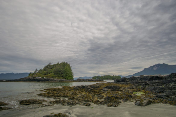
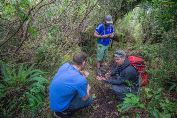
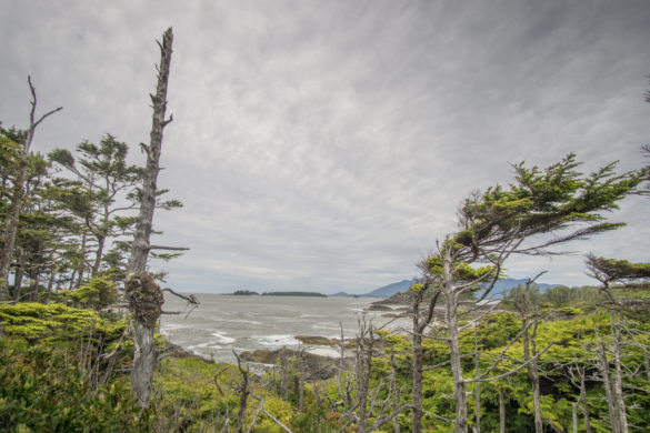
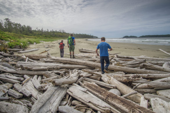
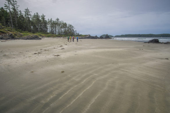
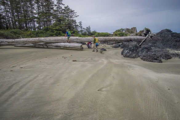
Book Your Hike With Hello Nature Adventure Tours
With two amazing hiking adventures with Hello Nature Adventure Tours behind me, I can say without any doubt that if you come to Tofino that you MUST hike either Vargas Island or the Wild Side Trail on Flores Island with them. Not only are you going to hike trails that most tourists don’t get to hike but you’re also going to get top-notch interpretation as you hike through the beautiful rainforest and beaches that make up these hikes.
Hello Nature Adventure Tours also specialize in kayaking expeditions, primarily in the Ucluelet area. They have one of the most unique kayaking experiences you could ever imagine doing – a nighttime kayak trip where you kayak through bioluminescent waters which grace our area during the late summer.
Regardless of what type of wild experience you seek, Hello Nature Adventure Tours will take you on a memorable adventure when you visit Clayoquot and Barkley Sound.
Book Your Adventure Now: HelloNature.ca
The post Hiking Clayoquot Sound with Hello Nature Adventure Tours appeared first on Full Time Canada.
]]>The post A Day on the Water with Tofino Sea Kayaking appeared first on Full Time Canada.
]]>Tofino Sea Kayaking
The Tofino Sea Kayaking building at 320 Main Street has a triple purpose. They have guided kayaking expeditions, there is the Tofino Paddlers Inn, and Main Street Espresso. In the 1920’s, the building originally served as one of the first hotels in Tofino.
They have a large deck that overlooks Clayoquot Sound where you can enjoy an espresso from the Main Street Espresso while soaking in the breathtaking view. When we take guests out for Tofino Food Tours they enjoy a meat and cheese board from Picnic Charcuterie while enjoying the beautiful view. We also explain to our guests some of the kayaking tours Tofino Sea Kayaking offer and what better way to explain a kayaking adventure than to experience one ourselves.
Going Solo or Doubling Up?
If you have ever been kayaking before and kayaked solo, you know how this can be a bit more enjoyable. You do your own thing and don’t have to work in synchronicity with another person. Because the tide was dropping dramatically and then rising dramatically due to the moon, our guide Candice recommended we go in double seater kayaks.
Adam and I knew this would be a challenge for us. While we communicate well, for some reason when we are kayaking or canoeing, we have issues. Adam says, “left,” I paddle right. I say, “right” he paddles left. Despite our knowing this, we decided to give it a go.
Our group consisted of myself and Adam, Candice – our guide, Jessica (guide in training), and a family of 3 visiting from Houston, Texas.
Gearing Up
While we were itching to get out on the water after our introductions, we still had to gear up and go through some safety checks with Candice. The most interesting part of gearing up was the decision between wearing Crocs or rubber boots. Because we would be hopping out of our kayaks into the water, we needed to ditch our hiking boots and make the difficult choice. Adam despises Crocs so it was an easy decision for him, however, I happily took a miscoloured pair.
Hitting the Water
With our gear all set up and safety lessons complete, we were ready to head out. We made the decision that Adam would paddle from the rear seat and I would take the front. As we started to paddle through the Tofino harbour, we noticed right away that our kayak kept going right. No matter what we did we kept going right. As we were paddling Adam figured that he didn’t set his pedals properly and it was causing issues when controlling the rudder. Whoops. It was too late now, so we figured we would adjust them on the way back.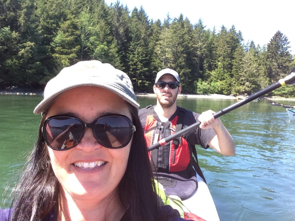
Weaving Through The Islands
As we continued to paddle we first came upon Deadman’s Islet. We found out from Candice the tiny islet was once used as a burial spot for the Nuu-Chah-Nulth First Nations. Then we went by Lemmens Inlet which splits the two main areas of Meares Island.
Around this area, there were several other little islands. Some of them even have houses on them that are completely off the grid. I imagined what it would be like to live like that with the beauty and isolation. As Adam and I discussed living off the grid I told him my fear of what would happen not having a place nearby to buy chocolate. He indicated that we would have a stockpile of chocolate and that we had to stop worrying about chocolate shortages and start paddling faster. A quick look ahead and we discovered that we were falling behind from the rest of the group. We were definitely paddling at a very leisurely place.
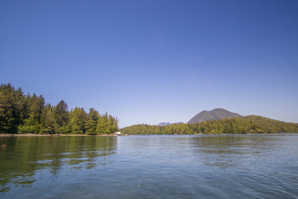
A view of Clayoquot Sound from our kayak.
As we continued along, the three major mountains of Clayoquot Sound – Lone Cone, Catface and Mount Colnett – seemed massive from our perspective on the water. At one point a bald eagle flew over us – one of several we would see on this trip. Jessica, our guide in training, kept telling Adam and I (in a very nice way) to hurry up. We apparently were a little slow because we kept looking at the islands and the mountains. The little islands were beautiful, covered in western red cedars and various other trees like hemlocks and the Sitka spruce.
Big Tree Trail
Almost an hour after we begun paddling, we were set to arrive at our destination on Meares Island – the Big Tree Trail.
As we approached the island, Candice guided us up onto the small gravel beach where we landed the kayak. Adam sure was glad to get out of the kayak. Because he didn’t have the pedals properly aligned both of his legs had fallen asleep. Once out of the kayak we both happily stretched our legs before going on our hike of the Big Tree Trail.
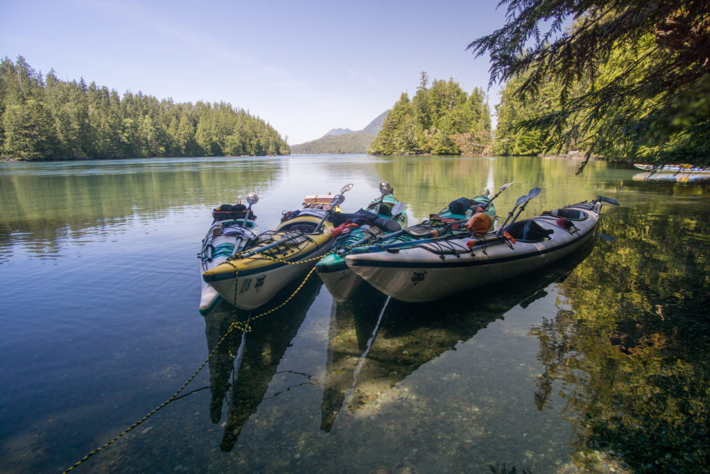
All tied up and ready to hit the Big Tree Trail
Exploring The Old Growth Forest
As soon as you get on the Big Tree Trail, you notice three things. First, your nose is almost immediately filled with the wonderful scent of western red cedar. Second, the boards on the trail are made of fallen red cedars and are uneven so you are constantly stopping and staring up at the trees for fear of tripping. Third, it’s called Big Tree Trail for a reason. These trees are old with some of the giants being in the one-thousand-year-old range.
The trees in this stunning forest are all unique. Candice explained to us because this is a natural forest, the trees are all different shapes and sizes and have grown how they want. In many second and third cut forests, you will notice the trees are planted to only grow to a certain height and width apart. The old-growth forest also allows more light to the forest floor below which allows other shrubs and plants to grow, creating a unique ecosystem.
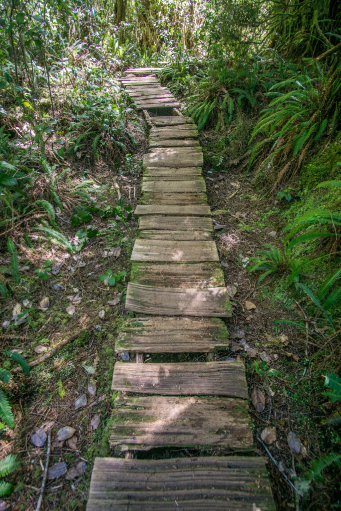
Walking the Big Tree Trail on Meares Island
I’ve been in many forests and I will never forget this old-growth forest. What’s crazy is that this forest was almost completely destroyed by the logging companies in the 1980’s. This left me with a sickened and disheartened feeling about mankind and how we so easily destroy our beautiful planet.
When the logging company was set to log Meares Island, First Nations along with locals teamed up to prevent what would have been nothing short of tragic. This happened throughout a series of events. First, when the logging company first approached the area with their logging equipment, they were told by First Nations that they were allowed to come upon the land but they were not allowed to destroy it. Later, the logging company was told by the BC Supreme Court that they would be allowed to log Meares Island. This was then thankfully overturned by the BC Appeals Court which officially stopped most logging activity on Meares Island.
Candice explained to us how First Nations would use the western red cedar, the tree they call “The Tree of Life”. First Nations would often spend time with the tree beforehand, relaying to it that it would be used to help their people travel by canoe, make their homes, baskets, tools and more.
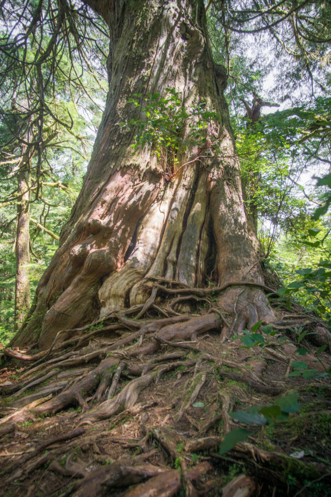
One of the monster western red cedars on Meares Island.
As we walked along the trail Adam was taking pictures but often when you’re taking pictures in nature the end result never really shows a true representation of what we see with our own eyes. That was no different with the Big Tree Trail. You have to see this in person.
After we finished our walk on the trail we made our way back to the kayaks. The time spent in nature made us all happier and thankful to the First Nations for protecting this beautiful, unique piece of Clayoquot Sound.
Paddling Back to Tofino
Before paddling back to Tofino Adam got his pedals fixed on the kayak. Not only were his legs not falling asleep we were now paddling faster and with more ease than the trip out. Another bald eagle flew over us as the wind was whipping against us. With the sun beating down on us and with big smiles on our faces we arrived back at Tofino Sea Kayaking.
If you visit Tofino, Tofino Sea Kayaking should be on your travel itinerary. They offer a wide variety of kayaking trips for you to enjoy. They have a handful of day trips that range in the 2.5-7 hours that will make for a great way to introduce yourself to the beauty of Clayoquot Sound. If you want to immerse yourself a little more, they have multi-day tours that range from 2 to 6 days that will have you kayaking by day and camping by night.
BOOK NOW: tofinoseakayaking.com
The post A Day on the Water with Tofino Sea Kayaking appeared first on Full Time Canada.
]]>The post Stubbs Island: A Land of Gardens, Beaches & Tranquility appeared first on Full Time Canada.
]]>Each and every May long weekend, Stubbs Island aka Clayoquot Island, is open to the public for two days. The rest of the year it’s off grounds for everyone aside from two caretakers that live on the island year-round. Before the town of Tofino was settled in the late 1800’s, most of the early European settlers settled on Stubbs Island in the mid-1800’s.
Back in the day, Stubbs was home to many families and the island featured a school, hotel, bar, jail and post office. Once the town of Tofino was settled in the late 1800’s, many moved from Stubbs Island to the mainland. Throughout the early to mid-1900’s, the island slowly lost its residents. Finally, in 1960, the post office closed on Stubbs Island. Today, the island is a shell of what it used to be. Albeit, a very beautiful shell and one that Tofitians and tourists alike have been enjoying since the 1890’s.
Clayoquot Days
Beginning in the 1890’s, locals on Clayoquot (as Stubbs was called at the time), along with many from around Clayoquot Sound and even as far as Ucluelet would come to Stubbs Island for Clayoquot Days every May long weekend. Back then, as many as 1500 people would gather on the long sandy beaches and participate in a wide variety of sporting events, have picnics & simply enjoy the beauty of the area. Clayoquot Days was a must-attend event for locals back then and it still remains that way to this day.
Getting to Stubbs Island
As you can imagine, a picturesque, serene island that is only open to the public two days of the year draws quite a crowd. To get to Stubbs Island you have two options – take the free water taxi or kayak. If we had a kayak, we definitely would have made our way to the island that way, but we had to opt for the water taxi.
When we drove down Main Street we saw a long line of others waiting to board the water taxi’s making the trips to the island. One terrible habit of mine is that I despise lineups. My patience isn’t great. Nonetheless, Kate and I remained patient in line while eating treats from Picnic Charcuterie that were meant to be enjoyed once on the island.
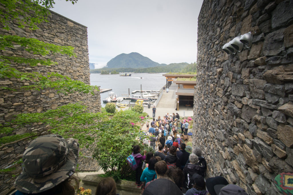
The lineup to take the water taxi to Stubbs Island.
A long hour and a half later, we boarded a water taxi with Dennis who took us past Deadman’s Islet, towards the First Nations village of Opitsat on Meares Island before dog-legging towards Stubbs Island. Fifteen minutes later, we arrived at the large dock protruding from Stubbs Island. Happily, we disembarked, ready to explore.
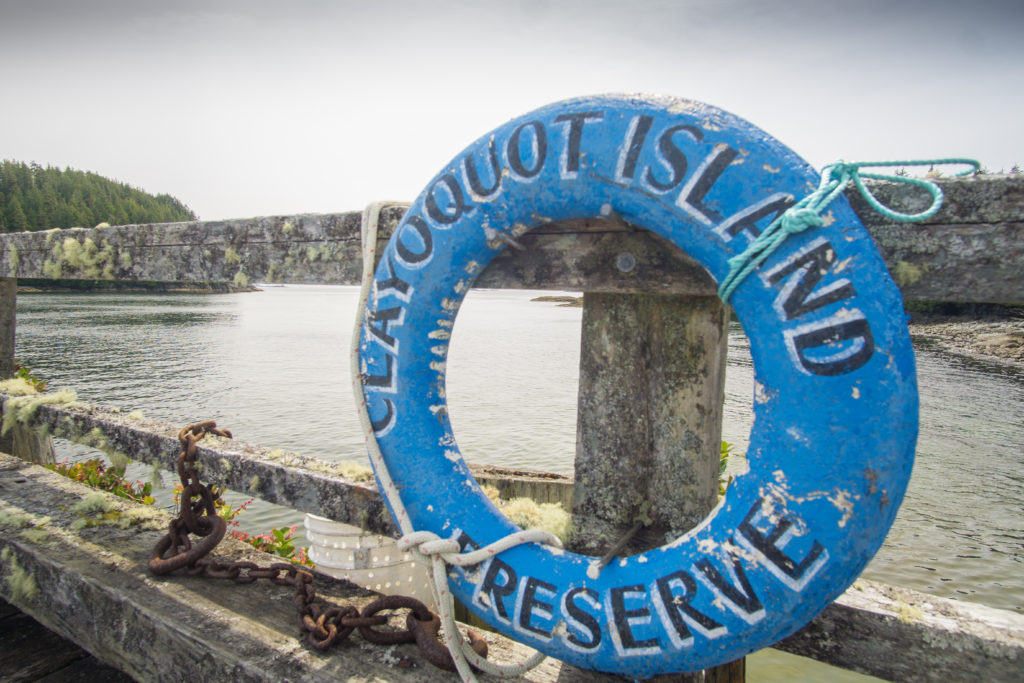
Clayoquot Island aka Stubbs Island
Exploring Stubbs Island
Stepping off of the dock and onto the island it was almost like entering an enchanting fairy tale-like land. After we walked through the lush forest, we entered to an open area surrounded by fully flowered rhododendrons. As the island mostly remains untouched these days, the rhododendrons on Stubbs grow exceptionally tall and beautiful. There are many who travel to the island simply to see the rhodos and after getting a look at some, we could see why.
Passing through the some of the gardens, including a nice little pond where a turtle was on a rock sunbathing, we made our way to a trail head. For 10-minutes we wandered down an old boardwalk surrounded by forest which is still home to wolves and bears that swim back and forth from the various islands of Clayquot Sound. At the end of the boardwalk, we were greeted with a long, sandy beach. With the sun shining, we made our way down to a quiet end of the beach and plunked ourselves down where we let the sun bake us in the quiet surrounding for almost an hour.
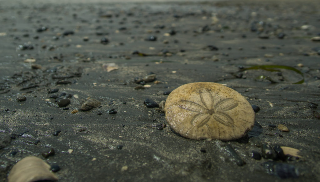
A tiny sand dollar laying on the beach at Stubbs Island
Later, we returned through the forest, stumbling on some rhododendrons that were easily 100-feet tall. Our one trail led to another which took us out to something we hadn’t seen in Tofino yet – sand dunes. The sand dunes combined with the forest covered mountains of the area gave us a perfect surrounding.
Walking the beach for 15-minuts led us back to the dock as the clock approached 6pm – the time the last water taxi was departing the island. On the way back to the mainland, we had the pleasure of zipping around Clayoquot Sound on a zodiac which had us back to land in what was a thrilling 3-minutes.
There’s definitely something special about visiting a place that is off-limits for 363 days of the year. It’s now been a week since we stepped foot onto Stubbs Island for the first time. Now, every time we go into Tofino, we look out to the long sandy strip of Stubbs Island and we think about how lucky we were to experience the beautiful, quiet island. If you ever plan a visit to Tofino, visiting during the May long weekend would allow you to visit this magical place.

The viewpoint from Stubbs Island
The post Stubbs Island: A Land of Gardens, Beaches & Tranquility appeared first on Full Time Canada.
]]>The post Whale Watching in Tofino with Jamie’s appeared first on Full Time Canada.
]]>With Adam and I living in Tofino, we knew we would need to get out and see the gray whales. In our travels, we have seen minke, pilot, and humpback whales and we wanted to add gray whales to the list. Neither of us had seen a gray whale and we also had never been out on the water since living in Tofino. My sister and niece were visiting, so we knew this would be a perfect opportunity for all of us to go whale watching in Tofino to see the gray whales.
Early Wake-Up Call
Our adventure started at 6:45 am as we had to be Jamie’s Whaling Station at 8 am. I looked at the marine forecast and I wondered if we would be able to go as there was a gale warning in effect. At 7:30 am I called Jamie’s Whaling Station and Stephanie let me know that we were good to go as the winds would be picking up later in the day.
After breakfast, my sister Beth, my niece Elise and I headed off to Jamie’s Whaling Station. Adam would be meeting us there since he had been working through the night as an extra for an ABC pilot tv show called “The Crossing.”
All Aboard the Pacific Springs
After signing a standard waiver, we went down to the docks where we boarded the Pacific Springs, a 35-foot cabin cruiser boat. The boat sat 12 which was thankfully cozy and warm since it was chilly outside. After a talk about safety and putting on our personal flotation devices, we were on our way to find some whales and other wildlife.
The first thing we spotted were buoys in the water dotting all around which we learned were crab traps. All around the crab traps were different gulls flying around looking for something to eat.
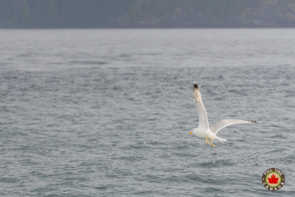
A gull looking for something tasty to eat.
The captain of the boat – Chris McCue started explaining the sights to us and indicated that British Columbia is the 2nd largest crab producer in the world. Captain Chris also pointed out Opitsaht on Meares Island which is a community of the Tla-o-qui-aht people of the Nuu-chah-nulth First Nation. They live in one of the oldest settlements on the Vancouver Island as some say it was 10 thousand years ago that the Tla-o-qui-aht people arrived as the ice was first receding.
Spotting an Otter
As we went along the smooth waters of the inlet, we could see Surf Scooter Ducks with beautiful Lone Cone Mountain as a backdrop. Captain Chris has sharp eyes and spotted a sea otter bobbing in the water in front of Cat Face Mountain. He explained how otters are incredibly smart and are one of the few animals to use a tool to eat. They will carry a rock in the pit of their leg and use it to smash open sea urchins.
The pelt of otters are also the thickest of any mammal which helps keep them warm in the chilly waters of the Pacific Ocean. Their pelts are also incredibly soft. Because of the softness and the warmth of the pelts, sea otters were hunted to extinction along the West Coast in the 1800’s. Later, the sea otters were re-introduced into the area by humans and can now easily be spotted around the Tofino boat docks and within Clayoquot Sound.
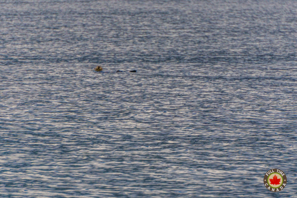
A sea otter playing around.
Geoducks
Captain Chris also pointed out Geoduck Boats (pronounced Gooey Ducks). Geoducks are the largest burrowing clams in the world. There is a huge market for them in China where they are considered a delicacy and an aphrodisiac. Divers go down and dig them out of the seabed. Geoducks are one of the longest-living animals of any type with a lifespan of up to 140 years.
Bald Eagles
As we motored along, Adam spotted a bald eagle that was drying its wings on a rock. We stopped close by so everyone could get photos. Even though we frequently see bald eagles in Tofino, we never get tired of seeing them. They’re so beautiful. While we were watching the first eagle drying its wings, we noticed another eagle flying towards us from a nearby island.
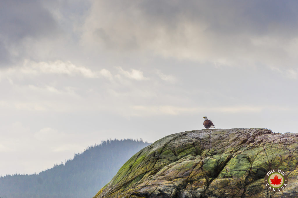
Bald eagle sitting on a rocky island drying out.
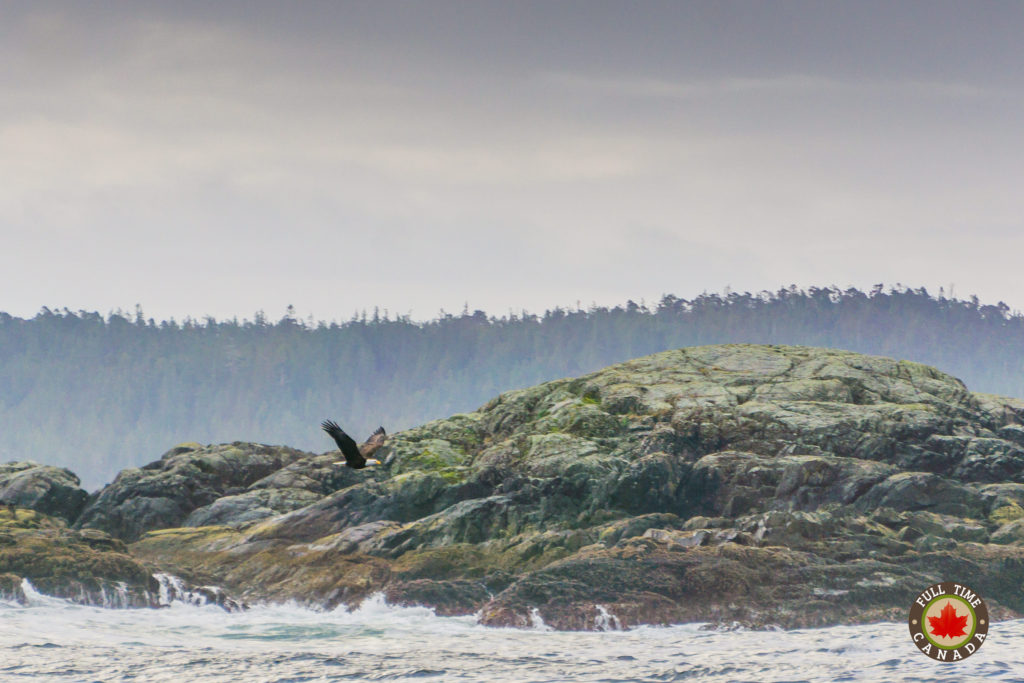
A bald eagle taking off from a rocky island.
Trying to Find a Gray Whale
After watching the eagles for a few minutes, Captain Chris was informed by one of the local boats passing by that there was a gray whale over by Clifford’s Point. Since we were almost there, he slowed right down and we all had our eyes on the water. Right at that point, it started to hail as large black clouds threatened to downpour on us. Then all of a sudden the sun broke through the clouds and there was a nice rainbow.
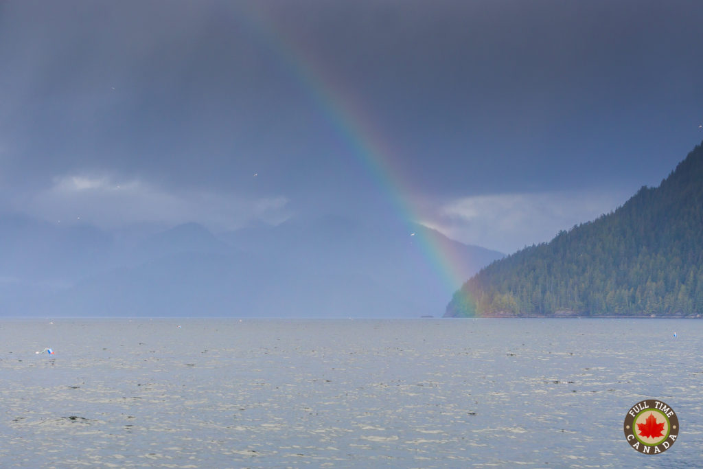
A rainbow arching over Clayoquot Sound.
As we continued to look for the whale, I went out on the deck of the boat where Adam already was trying to spot the gray whale. A woman who was on the boat spotted the whale’s spout first and we saw the tail come up a bit. The whale then dove down and disappeared before we were able to get a good peek.
As we inched closer to the whale, Captain Chris advised us that when the gray whale goes down to feed, it would take about 5 minutes before coming up for another breath of air. Sometimes they will dive down for as long as 20-minutes. Deckhand Jeremy Randall was standing out on the deck and told us how gray whales don’t find food based on sight or smell. Instead, they dive down and blindly take a taste to see if there is anything worth eating.
As we waited, I looked all around us. The mountains were gleaming in the sunshine. I also looked at the houses that were across the water at the Ahousaht First Nations on Flores Island.
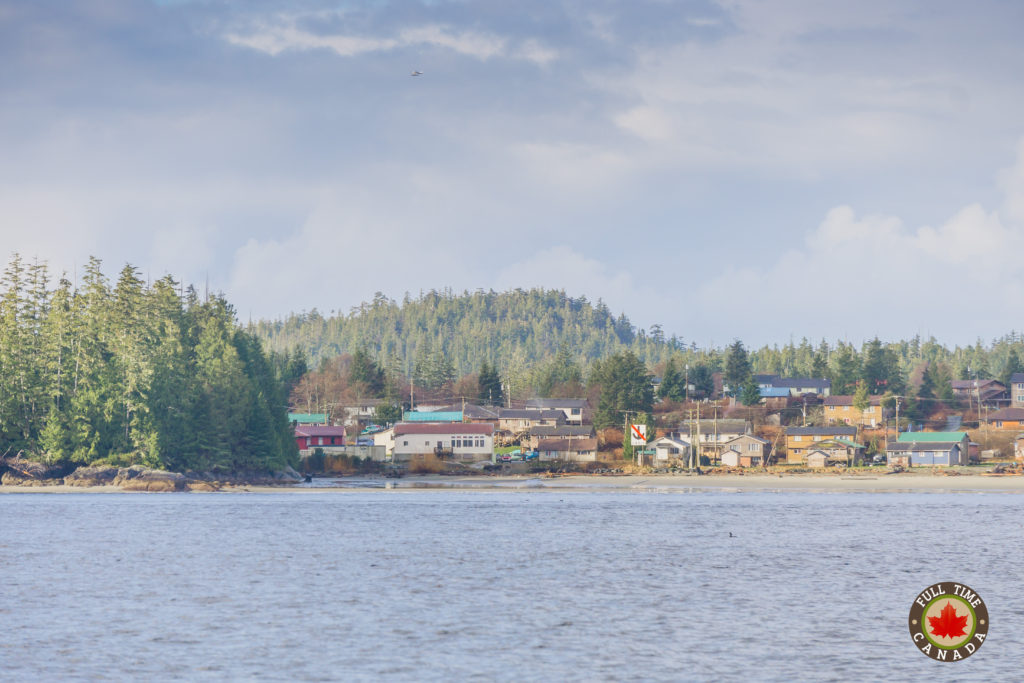
Houses of the Ahousaht First Nation on Flores Island.
Gray Whale Fun Facts
-According to the World Wildlife Federation, gray whales have a hump and a ridge of sharp bumps along their backs, instead of a dorsal fin.
-Adult gray whales can be as long as 15 metres and weigh up to 35 tonnes. Stack five male African elephants onto a scale and you get the picture. Female gray whales are slightly bigger than males.
-Gray whales are a type of baleen whale, which means they filter food from the water through special bristly structures in their mouths.
-Gray whales stay close to shore and feed in shallow water. Their well-known migrations take them between feeding and breeding areas, swimming as much as 12,000 miles round trip. It’s one of the largest migrations of any mammal on earth. The Gray Whales mate and have their calves in the warm winter waters of Mexico. They then make their way up the coast in the spring, stopping in British Columbia to eat before continuing on to the Bering, Chukchi, and Beaufort Seas.
The Whale Reappears
After five minutes, close by we spotted a spout shoot through the air. Captain Chris told us that whale spout smells horrible. Whales have a protective oil on their lungs that rots and when they discharge it, it smells terrible.
The gray whale slowly floated on top of the water before diving down once again. We moved around for about half an hour watching this one whale as it floated up and dove down. Every time the whale dove down, we didn’t know where it would reappear. Whales will continue to move around in search for good food. When the whale did reappear it was never near the boat and we would have to reposition the boat to get a bit closer. It was like a game of hide-and-seek on the water.
Throughout the time watching the gray whale, it rarely breached its tail. It also never entirely breached its body. The one thing everyone wants to see when whale watching in Tofino is a whale completely launch itself out of the water. Captain Chris said that gray whales rarely do that and publications like National Geographic make everyone think it’s something common to see.
Heading Back to Tofino
After viewing the gray whale, we made our way back to Tofino. Unfortunately, due to the gale warning, we couldn’t go out on the open ocean to see more whales as the water would be too rough.
Captain Chris continued to tell us more stories including the most interesting things he had seen out on the sea. The biggest spectacle being 500 dolphins feeding along with 3 humpback whales.
Captain Chris pointed out Vargas Island and told us to watch along the beach for coastal wolves which are often seen hunting. He also explained how feral cows roam around on Meares Island. European settlers would push them off the boats and round them up on the beach but some would get loose and happily live wild on the island. He said the meat and milk would taste odd as they wild cows eat a lot of sea kelp.
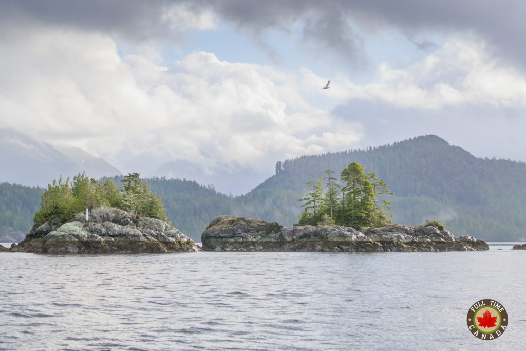
Some of the small island in Clayoquot Sound as we made our way back to Tofino.
Strawberry Isle Marine Research Society
As we arrived at the docks we learned about the Strawberry Isle Marine Research Station. When you go whale watching in Tofino with Jamie’s there is a $3 research fee that goes to the Strawberry Isle Marine Research Society. The research station is very important to Clayoquot Sound. They conduct research of the marine ecosystems, monitor marine life and promote public awareness of the marine environment in Clayoquot Sound. People who go whale watching in Tofino have donated over a million dollars to fund their work.
Back On Land
In total, the tour was 3 hours long, but the time flew by as Captain Chris from Jamie’s Whaling Station had many great stories to share and educated us on the area. If you’re planning to go whale watching in Tofino, this is a trip well worth taking, not only to see whales but to learn about the history of the area.
Upon arriving back at the dock, we were starving and Adam was also falling asleep after being up for over 24-hours. We knew that Jamie’s also owned the Jamie’s Rainforest Inn which has a great restaurant. So, we drove to the restaurant and had some of their homemade waffles which was the perfect way to end the adventure.
Wanna go whale watching in Tofino? Book with Jamie’s Whaling Station for an unforgettable experience.
The post Whale Watching in Tofino with Jamie’s appeared first on Full Time Canada.
]]>The post 9 Reasons Why Cox Bay is the Best Beach in Canada appeared first on Full Time Canada.
]]>For months, we would constantly visit Long Beach and Chesterman along with the equally impressive MacKenzie Beach, which is essentially our backyard at Crystal Cove Beach Resort. Little did we know, that over the course of the many months we’ve been in Tofino that we were missing out on not only the best beach in Tofino but the best beach in Canada. That beach is Cox Bay – a beach that for some reasons we ignored until recently.
You might be thinking, “seriously, the best beach in Canada is a beach I’ve never heard of?” Yup – it’s true. Cox Bay is the best beach in Canada in our opinion and we do know a thing or two about awesome beaches. This past summer we spent many days walking the red sand beaches of PEI, many of which could easily be the best beach in Canada, too. Growing up, I spent time at Wasaga Beach – the longest freshwater beach in Canada. Kate grew up with fantastic beaches in Long Point and Turkey Point in southwestern Ontario. Still, our recent outings to Cox Bay left us with the feeling that this is the best beach in Canada.
So what’s so great about Cox Bay anyways? Let me explain…
9 Reasons Why Cox Bay is the Best Beach in Canada
1 – Surrounding Scenery
From the public access parking lot between Long Beach Lodge and the Cox Bay Beach Resort, you have to walk about 500m along a boardwalk before you hit the beach. Upon the completion of that walk, your eyes are presented with an expansive beach surrounded by the lush temperate rain forest.
As you walk to the middle of the beach the surroundings get even more impressive. Look to the left and you’ll see a couple small tree covered mountains. Look to the right and you’ll see many of the mountains that make up Clayoquot Sound.
2 – Beachcombing
Growing up, Kate loved to go beachcombing with her mother on Inglewood Beach in Florida. Kate’s passion for beachcombing has since been passed on to me. The first time I went to Cox Bay, while walking the beach with Bella I was amazed at what I saw.
With the tide out, scattered along the spacious beach were hundreds of large sand dollars. Previously, I had seen the occassional sand dollar but this sight was unreal. Because they are so fragile, a large percentage of the sand dollars were broken into pieces and sprinkled throughout the beach. Still, though, there were a lot of full intact sand dollars from end-to-end of Cox Bay.
Aside from sand dollars, the rest of Cox Bay is also covered in various shells – especially at low tide. If you love beachcombing, you’ll love Cox Bay.
3 – Sunsets That Look Like Paintings
A couple of times every week, we’re amazed at the sunsets that present themselves in Tofino. Compared to the vibrant & fierce sunsets we experienced in PEI last summer, Tofino sunsets are different. They’re much softer and often resemble a watercolour painting.
At Cox Bay, with the surrounding mountains and wide open ocean, the sunsets are the perfect way to end a day.
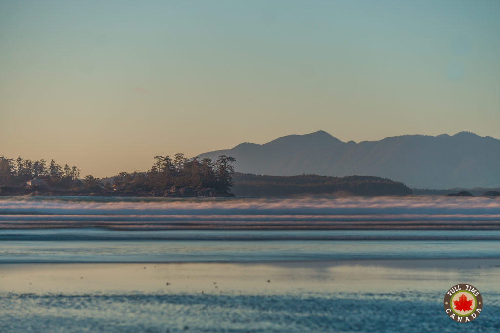
A soft & subtle sunset over Cox Bay.
4 – Surfing
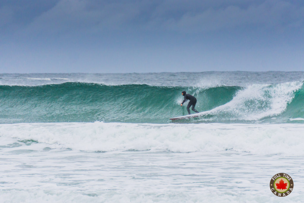
Thousands of people flock to Tofino throughout the year to ride the best waves in Canada. While the other beaches like Long Beach and Chesterman Beach have great surfing conditions, the surf conditions at Cox Bay are a notch better. The waves are large and act as a magnet for surfers, pulling them to the ocean where they bob around like seals waiting for that perfect wave. The surfing is so good at Cox Bay that Canadian ska band the Planet Smasher wrote about it in their fun tune “Surfin’ in Tofino”. The beach scenes in the video are of Cox Bay, too.
Even if you’re not a surfer, it’s fun to park yourself on the beach for a couple of hours and watch the surfers ride and balance themselves along the huge waves.
5 – Jogging/Biking
If surfing isn’t quite your thing, put on a pair of runners or hop on your bike and hit Cox Bay. The beach is about 1.5km in length making it a great spot to go for a quick run or bike ride. The sand at Cox Bay, like all Tofino beaches, is really hard and doesn’t have much give to it which makes it great for these to activities. Plus, after you work up a small sweat, if you’re brave enough, you can quickly cool down by going for a dip…or maybe just sticking your feet into the water.
6 – Lennard Island Lighthouse
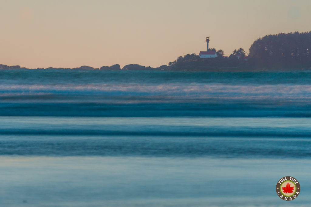
If you know Kate or me, you know that we love lighthouses. Last summer, we saw over 60 different lighthouses in PEI which was a fun experience. Here in Tofino, there aren’t many lighthouses to see aside from the Lennard Island Lighthouse.
This lighthouse was opened in the early 1900’s and served mariners as they would enter Clayoquot Sound. From Cox Bay, even though it’s still in the distance, you have a great view of the Lennard Island Lighthouse.
7 – Wildlife
Tofino is a very wild place and Cox Bay is no different. It’s easy to look up and see massive bald eagles soaring around. Also, on occasion, you may even be able to spot whales from Cox Bay. Over 20,000 grey whales migrate past the coastline of Tofino every spring which offers up wonderful opportunities to see them from shore. Humpbacks and Orcas also frequent the area through the various times of the year.
8 – Tide Pools
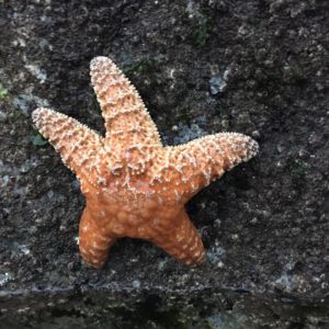
At low tide, the deeper pockets of beach along the coastal parts of Cox Bay allow you to have some serious fun checking out tide pools. Within these tide pools are all sorts of wonderful marine creatures. While searching the tide pools, it’s common to find crabs, shrimp, tiny fish and more. The common highlight for us is finding sea stars. The common sea stars here are beautiful. They cling themselves to the rocks with a vicious grip. While they look soft and jelly-like, they are rough like the rocks they cling themselves to. Sometimes they can be hard to find as the purple-ish stars tend to blend in with the rocks. However, the bright orange ones are easy to find and are stunning.
9 – The View
Located at the far end of Cox Bay is a somewhat secret-ish trail. The trail is technically a part of Pacific Rim National Park Reserve but isn’t labelled or marked at all. No online hiking guides even point to this as an actual trail. After a steep 20-30 minute climb up the mountainside, you can turn around and catch one of the most beautiful views you’ll ever see.
Kate and I were in awe when we got to the top of the mountain with that view presented right in front of us. It seemed surreal. We spent a good half hour at the top of the mountain just looking out to the vast space in front of us.
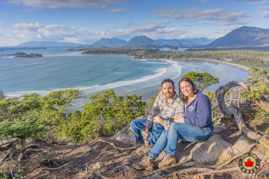
This one will be finding a frame soon than later.
Continuing past this vantage point, a quick five-minute hike takes you to the opposite side of the mountain which also displays a completely different but equally as stunning vantage point.

A view of the Esowista Peninsula from the top of Cox Bay.
We’ve never experienced a beach quite like Cox Bay before and for all of the reasons above, it’s why we believe it’s the best beach in Canada. Do yourself a favour and take a trip to Tofino and discover Cox Bay and all of the other incredible beaches in the area.
Tell us, where is your favourite beach and why?
The post 9 Reasons Why Cox Bay is the Best Beach in Canada appeared first on Full Time Canada.
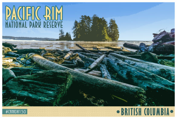
]]>The post #Canada150 – Pacific Rim National Park Reserve appeared first on Full Time Canada.
]]>Each month, throughout 2017, we will be highlighting a national park to give you an insight into that park. You’ll learn about the history of the park, where to stay, & what to do once you’re there.
Pacific Rim National Park Reserve
This month, we’re going to introduce you to a park that we’ve seen a lot while we’ve been living in Tofino – Pacific Rim National Park Reserve.
If you’re looking for a combination of adventure but also relaxation, Pacific Rim National Park Reserve is a great park for you. Located on the western coast of Vancouver Island, upon your arrival, you’ll be amazed at the rough coastal areas, long beaches, & the stunning green of the lush temperate rain forest. The park is comprised of three separate units, each offering their own dose of adventure – the Long Beach unit, the Broken Group Islands unit, & the West Coast Trail unit.
Sections
Section 2: The Broken Group Islands Unit
Section 3: The West Coast Trail Unit
Location: Vancouver Island, British Columbia
Size: 511 sq. KM
Opened: 1970
Brief History
-Pacific Rim National Park Reserve was opened in 1970 as Canada’s first national park reserve.
-The park was designated a national park reserve due to a land claim by the Nuu-chah-nulth tribal Council and the Ditidaht First Nation.
-Discoveries of various archaeological sites indicate that there has been a human presence in the area of the park for 4300+ years.
-At the parks opening ceremony in 1971, Princess Anne was in attendance and presented with a driftwood sculpture by future Prime Minister – Jean Chretien.
-Prior to the opening of the Pacific Rim National Park Reserve, the area was a hideout for American draft dodgers. A lot of them settled on Long Beach, only to be evicted when the park was officially opened in 1970.
Long Beach Unit
The park is comprised of three separate coastal areas that stretch along the coast from Tofino in the north to Port Renfrew in the south. The most accessible section of Pacific Rim National Park Reserve is the Long Beach unit, named for the world-famous Long Beach – not to be confused with the famous California beach of the same name. Most of the park’s trails and attractions are located within the Long Beach unit.
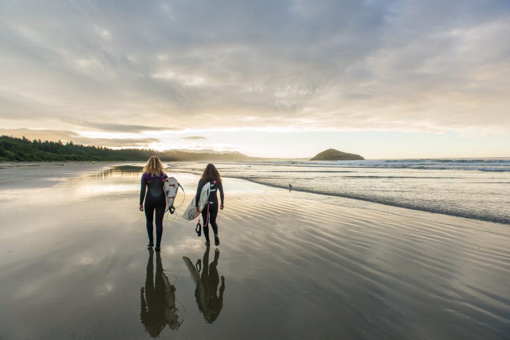
A couple of surfers getting ready to hit the waves of Long Beach in Pacific Rim National Park Reserve.
© Parks Canada / Scott Munn
How To Get There
While the Long Beach unit is the most accessible section of the Pacific Rim National Park Reserve, that doesn’t mean it’s not an adventure getting there whether you’re arriving by car or plane.
By Road
If you’re arriving by car, you’ll have to drive the only road to/from the area – Highway 4. From Port Alberni, you’ll travel through the mountains including the Sutton Pass and wind along the steep, single lane road. There are some spots along the drive where you can pass slow moving vehicles. There are also pullouts for slow moving vehicles like RVs & transport trucks. There are some narrow sections of the road where the rock cliffs are essentially a part of the road.
While the drive can be a bit of an adventure, it’s actually quite fun and offers stunning views of the mountains and crystal clear lakes. This may actually be our favourite drive to do in all of Canada (that we’ve experienced) and we recommend you do it at least once. The drive from Port Alberni will take you between 1.5-2 hours. We also recommend that you stock up on whatever supplies you need for your getaway while in Port Alberni as costs for essential items are considerably higher in Tofino.
If you prefer to sit back and enjoy the trip from Port Alberni into the park, you can travel by bus with Tofino Bus which operates throughout various destinations on Vancouver Island. You can also take a luxurious ride with Pacific Rim Navigators that will get you to Pacific Rim National Park Reserve in style.
By Air
If you’re looking to get to Pacific Rim National Park Reserve a little bit quicker and with some great views, you can do so by air where you will fly into the Tofino-Long Beach Airport. You can fly into Tofino through Vancouver on the mainland or various locations throughout Vancouver Island. Tofino Air, Orca Airways, & KD Air all offer air transportation to Tofino. Make sure you have your camera ready because you’re bound to see some incredible sights as you fly over the mountains before making your way to Tofino.
Where to Stay
Green Point Campground
Green Point is the only Parks Canada campground within the Long Beach unit of Pacific Rim National Park Reserve. The campground offers 94 drive-in sites, 20 walk-in forest sites, & 1 group walk-in site. The campground is usually open in early May and closes in early October. Due to the popularity of the park, it’s imperative to book a reservation well in advance. A quick search shows that many of the sites are already completely booked for the duration of the 2017 season and it’s not even February.
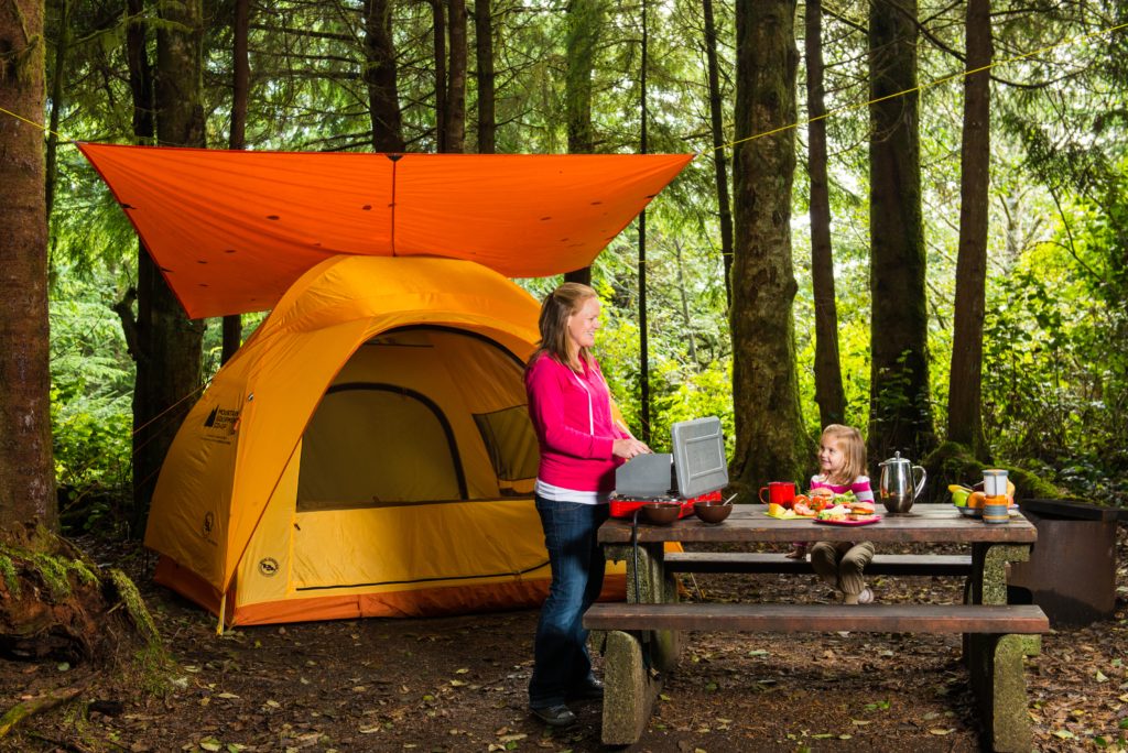
Camping at Green Point Campground in Pacific Rim National Park Reserve.
© Parks Canada / Scott Munn
Crystal Cove Beach Resort
If you’re looking to book an RV site outside of Pacific Rim National Park, we have to recommend Crystal Cove Beach Resort as it’s the spot that we’ve been enjoying in Tofino since mid-October. The resort features over 30 luxurious cabins but is also home to one of the best RV parks we’ve enjoyed in Canada. Located right on MacKenzie Beach and only a short drive from the Pacific Rim National Park – Crystal Cove is a great destination for you and your family. Crystal Cove is also the only RV park open year round in the Tofino area.
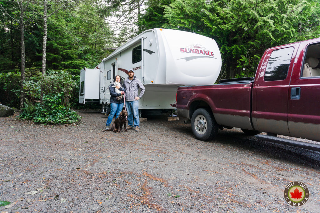
Our new home at Crystal Cove Beach Resort in Tofino.
Other Options
There are other campgrounds located in both Tofino & Ucluelet that offer both tent & RV camping as well as many high-end resorts if you’re looking for a luxurious stay in the temperate rain forest or along the rugged coast.
What to Do
Where to begin? The Long Beach unit of Pacific Rim Park Reserve offers a wide range of adventure opportunities for you and your entire family. There’s plenty of hiking, surfing, & other activities to keep you busy throughout the duration of your trip.
Surfing
Since the mid-sixties, Long Beach has been a popular surfing destination in Canada. The waves and swells offer up plenty of opportunities to get wet and have some fun. Since Long Beach is so large (10km), even during the busy summer season, there is lots of room for you to safely catch some waves. Throughout the park, there are multiple change rooms where you can change in & out of your wetsuit and also hoses to spray down your surf gear.
If you’re new to surfing but want to learn, there are plenty of surf companies in Tofino & Ucluelet that offer gear rental and lessons. Stand Up Paddle Boarding has continued to gain in popularity and you can find many spots that will rent you paddle boards and gear.
Long Beach and Wickaninnish Beach are the only beaches within the Pacific Rim National Park Reserve, but there are many other beaches in the Tofino area that are also suitable for surfing, including the world-famous Chestermans Beach.
Hiking
Connected by beaches and forest paths, it feels like you can hike forever in Pacific Rim National Park Reserve. Located in the Long Beach unit, there are 8 trails with the longest being 2.5km. Most of the trails twist through the green rain forest and often end at a pristine area of beach where you relax and enjoy the view or search through the many tide pools for marine creatures.
Most of the trails include long, steep flights of stairs that take you down through the forest onto a beach. The trails in the Long Beach unit are some of our favourite short distance trails in all of Canada. Seeing the temperate rain forest where everything is a striking green colour is incredible. The trees are massive and the air is fresh.
Our favourite hike is the Schooner Cove Trail which takes you through the rain forest and onto the beach which is dotted with homes of the Tla-o-qui-aht First Nations. The South Beach trail is a wonderful, short trail that is broken up into tiny sections of seclusion and features plenty of tide pools where you can try to find a starfish or other marine life.
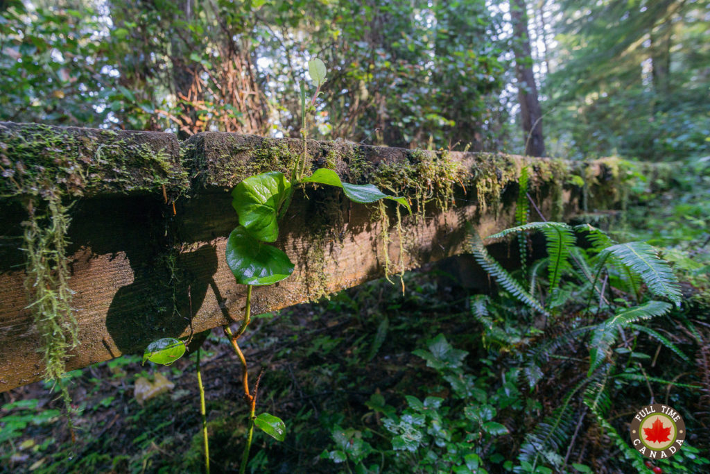
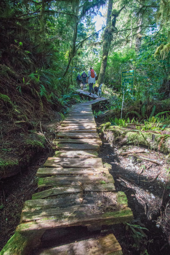
One of the mossy wooden footpaths at Schooner Cove.
The Long Beach Challenge
At low tide, runners can enjoy a 9.5km run along Long Beach. You can pick up a time card at the two visitor centres in the park which will keep track of your run time which is then displayed at the Kwisitis Visitor Centre.
Storm Watching
If you choose to visit Pacific Rim National Park Reserve during the low season during the winter months, you’re still going to be in for a treat. From November til the end of March it’s officially storm season on the west coast of Vancouver Island. Get yourself a good rain suit and head out to the beach to watch the powerful Pacific storms crash massive waves along the rocky coastline.
Swimming
The Pacific Ocean is cold and rarely warms to a temperature that is comfortable for a relaxing swim. With that being said, during the warmer summer months, you can quickly cool off by plunging into the ocean if you’re brave enough. Depending on tide times, you may be able to find deep tide pools that would be considerably warmer than the wide-open ocean.
Geocaching
Over the past decade, adventure seekers looking for a bounty have taken to Geocaching where you hunt for a treasure with the help of your GPS. Located throughout Pacific Rim National Park Reserve are multiple geocaches. You can get the coordinates from geocaching.com and even borrow a GPS unit from the Kwistis Visitor Centre.
Wildlife Viewing
Pacific Rim National Park Reserve is full of wildlife that you may spot during your stay. There are various ground mammals like black bears, cougars, & coastal wolves. Keep in mind while you’re on a hike in the park it is possible to stumble on these animals which while beautiful, can be dangerous. Be careful of your surroundings when on a hike and always keep your dogs on a leash.
© Parks Canada
The marine wildlife is also wonderful with seals, sea otters, & sea lions. Of course, the whales around Pacific Rim National Park Reserve are extremely popular. There are gray whales, humpbacks, and the most popular of all – the Orcas. There are many private companies that will take you out for the chance to spot whales during your stay at the park.
Birding is a popular activity in Pacific Rim National Park Reserve with over 300 species in the area throughout the year. You’ll be able to easily spot bald eagles, great blue herons, many songbirds, as well as shorebirds that stop in the area during the spring migration.
© Parks Canada
Cultural Experiences
While visiting Pacific Rim National Park Reserve you can enjoy many opportunities to learn about the history & culture of the Nuu-chah-nulth people. The Kwistis Visitor Centre features many opportunities to learn about the historic Nuu-chah-nulth culture and even hear some stories told by some Nuu-chah-nulth elders.
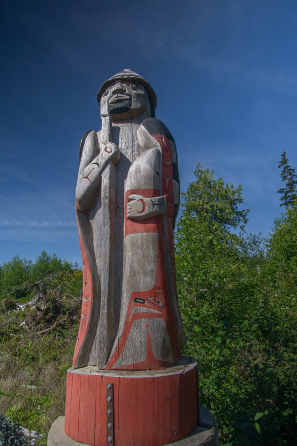
Along the Nuu-chah-nulth Trail, there is a beautiful totem pole which features carvings of a bear, killer whale and thunderbird.
Beach Clean Ups
One unfortunate thing you will notice while visiting the beautiful beaches of Pacific Rim National Park Reserve is that there is a lot of washed up marine debris laying along the shoreline. A lot of this is a result of the 2011 earthquake in Japan. Marine debris from Japan continues to wash up on the shore of Pacific Rim National Park Reserve. At times it’s possible to see hundreds of little pieces of plastic mixed in with various shells.
All of this marine debris has a negative effect on the marine wildlife which is why it’s imperative that it gets cleaned up. The Pacific Rim branch of the Surfrider Foundation holds regular beach clean ups where you can get together as a group to clean up the beach. You can also help out by bringing along a bag to fill while you casually walk the beaches. Yes – cleaning beaches doesn’t necessarily sound like a fun way to spend a getaway but it’s helps preserve the health of the marine wildlife which we too often take for granted and don’t protect.
Broken Group Islands Unit
To the south of the Long Beach unit, you’ll find the remaining two sections of the Pacific Rim National Park Reserve – the Broken Group Islands Unit & the West Coast Trail Unit. The Broken Group Islands unit is a collection of over 100 small islands located in Barkley Sound. This unit is accessible by boat only and is a popular destination for kayakers.
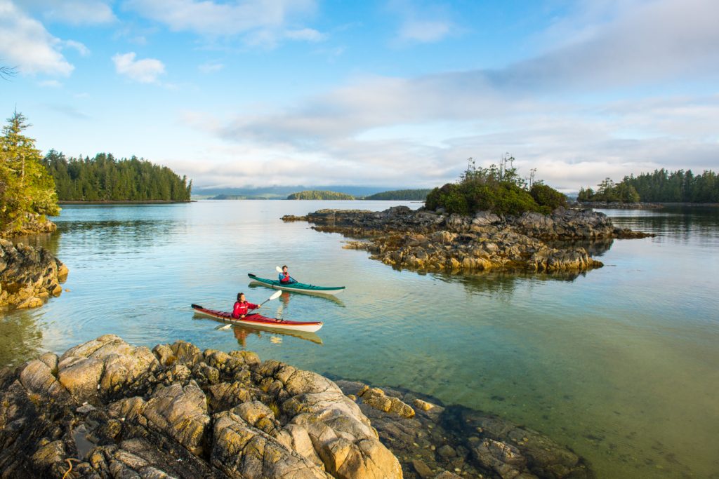
Kayakers paddle through the crystal clear waters of the Broken Group Islands in Pacific Rim National Park Reserve
© Parks Canada / Scott Munn
How to Get There
While getting to the Long Beach unit of Pacific Rim National Park Reserve is an adventure, getting to the Broken Group Islands is even more so. If you want to enjoy the remoteness of the Broken Group Islands unit, you will have to arrive by boat or kayak.
The best access to the Broken Group Islands is at the Toquaht Nation’s Secret Beach Campground and Kayak Launch. This campground and launch is located about an hour from either Tofino or Ucluelet down an active logging road. The road is a rough gravel road that has to be driven slowly for about half an hour before arriving.
If you prefer to paddle by kayak to the Broken Group Islands you can be transported by boat by one of the many private companies offering those services.
Where To Stay
Wild camping is available on 7 of the islands within the Broken Group Islands including Hand, Turret, Gibraltar, Willis, Dodd, Clarke and Gilbert Islands. In order to reserve a campsite, you must either contact Parks Canada via phone at 250-726-3500 or purchase them in person at the Ucluelet & Port Alberni Chambers of Commerce or the Pacific Rim Visitor Centre.
Something to keep in mind is that there are no dogs allowed because of how they disturb the wildlife in the area. There is also no fresh water available which means you will have to transport your own water with you to the islands.
What to Do
Kayaking and island hopping is the main draw of the Broken Group Islands unit. By kayak, you will be able to explore the many different distinctive features of the Broken Group Islands including lagoons, coves, sea caves & of course – wildlife.
If you wish, you can book guided trips from a selection of companies in the Ucluelet, Port Alberni & Bamfield areas.
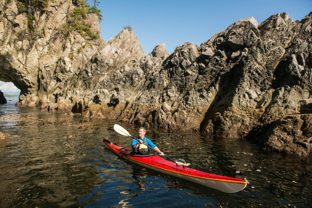
A kayaker explores the rocky shoreline of one of the Broken Group Islands in Pacific Rim National Park Reserve.
© Parks Canada / Scott Munn
West Coast Trail Unit
The West Coast Trail unit is likely the most adventurous of the three sections of Pacific Rim National Park Reserve. This section of the park is home to the 75km West Coast Trail that winds its way along the coast from Port Renfrew up to Bamfield. It’s regarded as not only one of the best trails in Canada but the entire world.
The trail was initially built in the early 1900’s as a route to help rescue sailors who were shipwrecked in the area. By the 1950’s, the trail was no longer used until 1970 when Pacific Rim National Park Reserve opened & revived the trail, creating a popular backpacking/hiking destination that takes 5-7 days to complete.
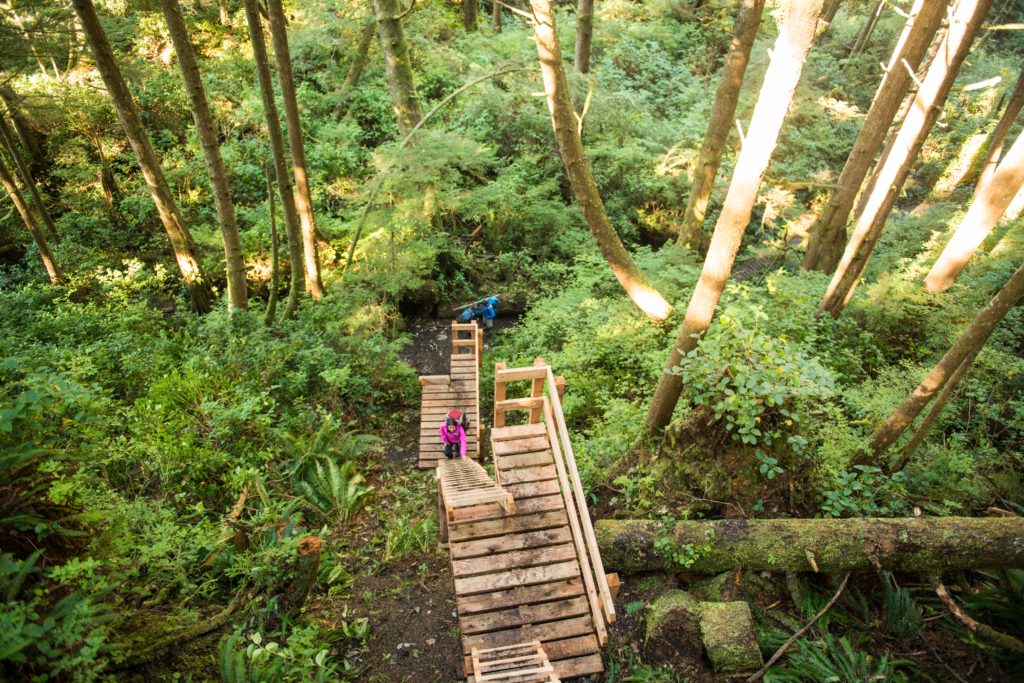
Multi-level ladders are one of the many obstacles of hiking the West Coast Trail.
© Parks Canada / Scott Munn
Now available is a 2-3 day hike for those who can’t commit to a longer hike. Both hikes, however, are extremely challenging and will test your physical and mental capabilities. There are points on the trail where you will have to climb steep ladders, traverse canyons in a cable car, and hike along the rugged & unpredictable coastline.
The challenging hike is meant for those with significant backcountry hiking and camping experience. The full trail should be done by those with that necessary experience. The 2-3 day hike is more easily accomplished by those without experience but still wish to enjoy the trail in some capacity.
The West Coast Trail is open to hikers from May 1 until September 30th. A max of 26 hikers at each of the Pachena Bay and Gordon River access points are allowed to set off on the trek daily. All hikers are required to make reservations and have a permit to access the trail. You can reserve a spot on the Parks Canada website, or by calling them. If you wish to hike the trail but don’t have a reservation, you can be placed on a standby list should a spot open up. Among the costs for reservations and permits, you will be required to pay for a water taxi along the trail.
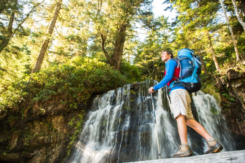
A hiker near a waterfall at Bonilla Creek, on the West Coast Trail.
© Parks Canada / Scott Munn
How to Get There
There are three trailhead access points for the West Coast trail – Pachena Bay in the north, Gordon River in the south, & Nitinat is in between. Access to each location will mean travelling down a mixture of paved and gravel logging roads. Rather than risk getting lost on logging roads or worrying about busting a tire, you can take a shuttle (West Coast Trail Shuttle/West Coast Trail Express) to and from each of the trailheads that will allow you to get to your access points on time and stress-free. It will also mean that you won’t have to leave your car in a remote area for a week or need transportation back to it after completing the trail.
Plan Ahead
Completing the West Coast Trail will require a lot of planning and preparation to ensure you have a comfortable and rewarding hike. Read everything you can about the trail. We’ve included a couple links below that will give you insight into some hikers who completed the trail and what they learned from their experience.
How Stuff Works: A Guide to Hiking the West Coast Trail
We hope this guide to the Pacific Rim National Park Reserve has provided you with a sense of desire to travel to and enjoy this wonderful park. Be sure to subscribe to our newsletter to stay up-to-date with all our other #Canada150 national park features throughout 2017. If you found this post helpful, please share it with your friends and family. You can Pin these retro-style posters, too!
Get your FREE Parks Canada Discovery Pass
Reserve you campsite with Parks Canada
The post #Canada150 – Pacific Rim National Park Reserve appeared first on Full Time Canada.
]]>The post MacMillan Provincial Park: The Gorgeous Grove of Giants appeared first on Full Time Canada.
]]>While Tofino sees a crazy amount of tourists, the population of the village is small. There are under 2000 people that call Tofino home. Because of the small population, there aren’t a lot of the typical stores that we were used at home. Since we arrived in Tofino, we’ve been getting by with visits to the Co-op grocery and hardware stores for most of our needs. However, we also compiled a list of stuff we needed that we just couldn’t find in Tofino or items that are outrageously priced. This meant it was time for a trip.
To stock up on goods, a lot of Tofino locals will make a monthly trip up Highway 4 to Port Alberni. This is the one road in and out of Tofino. It’s a beautiful road with stunning views, but it’s also at minimum a 1.75-hour drive. In the winter, the drive can be a horrendous one. While Tofino sees little to no snow during the winter, Highway 4 (because of it’s high elevation) gets plenty of snow. This turns the usually tricky to navigate road into a dangerous road. Thankfully, we haven’t had to make a winter trip to Port Alberni as we went during the first week of November.
While our main goal was to get some items that we couldn’t find in Tofino, like RV supplies and certain groceries, we also made it a priority to visit MacMillan Provincial Park on the other side of Port Alberni.
The day we first travelled to Tofino, we drove by MacMillan Provincial Park and both said, “wow!” as we looked as the giant trees throughout the rain forest. As soon as we set our eyes on the park, we knew we had to visit as soon as possible and this trip at the beginning of November was the perfect opportunity.
A Bit of History
Like today, throughout the early 1900’s, many tourists flocked to the park. At the time, however, it was yet to be named MacMillan Provincial Park. Rather, it was called Cathedral Grove, a name given to the area by the Governor General of Canada – Viscount Willingdon.
For a period of time, it appeared the old growth forest – which features giant Douglas firs, western redcedars, and more – was destined to become lumber. While tourists were enjoying the beautiful sights of the massive natural structures inside of Cathedral Grove, British Columbia’s first Chief Forester – H.R. MacMillan had a different vision for the park. MacMillan had acquired the land from a timber company and planned to have the trees within Cathedral Grove cut down.
When it became known that the beautiful grove was destined to become lumber, the public demanded the government of BC protect the land. MacMillan, however, was content on keeping his land and wouldn’t budge on his plans to forest Cathedral Grove. 15 year later, MacMillan still had not forested the land and gave into the public’s demand for the BC government to acquire & protect the land from foresting operations.
In 1947, MacMillan Provincial Park officially opened, named for the man who generously decided to protect the old growth forest and allow for the public to enjoy its sheer beauty.
MacMillan Provincial Park Today
Today, MacMillan Provincial Park is a popular and easy to access destination. It’s estimated that 1 million people enjoy the old growth forest each year. The park is bisected by Highway 4 with small trails that wind through the forest on each side of the highway.
Considering the popularity of the park, the parking situation is a tad dangerous. There are pullout parking lots on both sides of the highway, but they are merely extensions of the narrow highway itself. During the busy summer months, I’m certain there are many near accidents in the busy area. The government had planned to construct a safer parking lot down the road but those plans were ditched due to concerns & protests from environmentalists.
When we first arrived at the park, it was busy considering it was early November. Because Halloween had just passed, we noticed the parking lots on both sides of the highway were dotted with pumpkins. Apparently, it’s tradition in the area to dispose of your pumpkins around the parking lot and trail entrances at MacMillan Provincial Park. While it was a fun & unique setting, I could imagine that if you were driving by at night, it might be tad spooky.
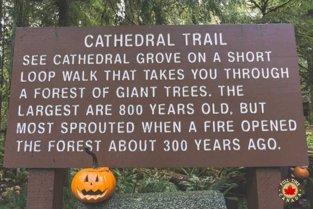
The entrance to the Cathedral Grove trail featuring a welcoming pumpkin.
Hiking MacMillan Provincial Park
Some of the most picturesque hikes in Canada are also the most difficult but not this one. This is a short and easy trail that is also somewhat, if not completely, wheelchair accessible. Pretty much anyone can access this trail which is fantastic because it is a treat everyone should be able to enjoy.
As you walk through Cathedral Grove, you find yourself pausing early & often to look at your surroundings. The forest is a rich, dark green and full of life. The air felt smooth & crisp, likely from the quantity of lush flora. There are gigantic trees everywhere you look. Some of the Douglas firs, hemlocks, & western redcedars are over 800 years old which is incredible. When you stand beside them you feel small. There is one Douglas fir within MacMillan Provincial Park that is over 9 meters in circumference. That’s a huge tree.
We walked MacMillan Provincial Park throughout Cathedral Grove for almost an hour. Part of the trail was blocked off due to flooding from some heavy rain that had hit the area in the previous days. This meant we had to double back rather than continue the loop before finishing our short but beautiful hike.
Before leaving, I remarked to Kate that the park would be a great place to stop anytime we pass by. The hike is short and easy making it the perfect spot to stretch our legs during a drive to Port Alberni or Nanaimo. While we haven’t been back to MacMillan Provincial Park since November, we are heading to Nanaimo at the end of the month and plan to see if the park is as tranquil in winter as it was when we first visited. We’re guessing it’ll be equally, if not more beautiful than our first trip to the park.
What’s one location you’ve visited that is naturally beautiful like MacMillan Provincial Park?
The post MacMillan Provincial Park: The Gorgeous Grove of Giants appeared first on Full Time Canada.
]]>


